Huampaní hydropower plant
| Huampaní hydropower plant | |||
|---|---|---|---|
| location | |||
|
|
|||
| Coordinates | 11 ° 58 ′ 25 " S , 76 ° 46 ′ 30" W | ||
| country |
|
||
| place | Lima region | ||
| Waters | Río Rímac | ||
| Data | |||
| Type | Run-of-river power plant | ||
| power | 30 MW | ||
| operator | Enel | ||
| Start of operations | 1960 | ||
| turbine | 2 Francis turbines | ||
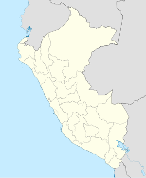
The Huampaní hydropower plant (span. Central Hidroeléctrica Huampaní ) is located on the edge of the Peruvian Western Cordillera , on the lower reaches of the Río Rímac . It is 30 km east of the provincial capital of Lima in the district Lurigancho in Lima Province administrative region Lima . The plant is operated by Enel .
The Huampaní hydropower plant forms the lowest part of a power plant cascade. The Moyopampa hydropower plant is located upstream .
The first power plant unit of the Huampaní hydropower plant went into operation in 1960. The power plant is equipped with 2 horizontally directed Francis turbines . The total installed capacity is 30 MW. The gross drop height is 177 m at the design flow 21 m³ / s.
The water used by the power plant is diverted at a weir ( ⊙ ) 10.5 km upstream . The water flows back into the river below the power station.
![]() Map with all coordinates: OSM | WikiMap
Map with all coordinates: OSM | WikiMap
