Huinco hydropower plant
| Huinco hydropower plant | |||
|---|---|---|---|
| location | |||
|
|
|||
| Coordinates | 11 ° 45 '34 " S , 76 ° 36' 51" W | ||
| country |
|
||
| place | Lima region | ||
| Waters | Río Santa Eulalia | ||
| Data | |||
| power | 270 MW | ||
| operator | Enel | ||
| Start of operations | 1964 | ||
| turbine | 4 Pelton turbines | ||
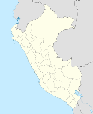
The Huinco hydropower plant (span. Central Hidroeléctrica Huinco ) is located in the Peruvian Western Cordillera on the Río Santa Eulalia in the central west of Peru , 55 km northeast of the state capital Lima . The power plant is located in the San Pedro de Casta district in the Huarochirí province of the Lima administrative region .
Hydroelectric power plant
The hydropower plant was built in the 1960s. The first unit went into operation in 1964. The cavern power plant is accessible via an 858 m long tunnel. The hemispherical chamber is 108 m long, 31 m wide and 24 m high. The power plant is equipped with 4 horizontally aligned Pelton turbines . The total installed capacity is 270 MW. The average annual energy production is 1158 GWh. The power plant uses a gross drop height of 1,293 meters (net head: 1,245 m). The expansion water volume is 25 m³ / s.
Sheque dam
The Sheque dam ( ⊙ ) is located on the Río Pallca , a source of the Río Santa Eulalia. The dam was built in 1962. The storage volume is 430,000 m³. The dam is 125 m long and 39 m high. The water is led from the dam to the power plant via a 13.1 km long pipeline. The Carhuac and Huanza hydropower plants are located above the dam .
More water storage and supply lines
Several natural lakes in the catchment area of the dam were provided with dams so that an increased water storage capacity is available for the downstream hydropower plants. Furthermore, water is diverted from the lake Laguna Marcapomacocha , which lies in the catchment area of the Río Mantaro , and is fed to the catchment area of the power plants above the lake Laguna Milos via an 11.9 km long canal and a subsequent 10.1 km long tunnel .
![]() Map with all coordinates: OSM | WikiMap
Map with all coordinates: OSM | WikiMap
