Water reservoir Thana
| Water reservoir Thana | |||||||||
|---|---|---|---|---|---|---|---|---|---|
| View from Dumreja to the west over the reservoir | |||||||||
|
|||||||||
|
|
|||||||||
| Coordinates | 40 ° 51 '33 " N , 19 ° 50' 33" E | ||||||||
| Data on the structure | |||||||||
| Lock type: | Debris Dam | ||||||||
| Construction time: | 1959-1962 | ||||||||
| Height of the barrier structure : | 11 m | ||||||||
| Building volume: | 13 000 000 m³ | ||||||||
| Crown length: | 3 500 m | ||||||||
| Data on the reservoir | |||||||||
| Altitude (at congestion destination ) | 28 m above sea level A. | ||||||||
| Water surface | 5.91 km² | ||||||||
| Storage space | 65 000 000 m³ | ||||||||
| Particularities: |
Largest water reservoir in Albania for irrigation |
||||||||
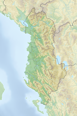
The water reservoir Thana or reservoir Murriz ( Albanian Ujëmbledhës i Thanës ) is the largest water reservoir in Albania for irrigation purposes . It is located in central Albania at the transition between the Myzeqe plain and the Dumreja hills around twelve kilometers southeast of Lushnja .
The lake was created between 1959 and 1962. It is around four kilometers long and over two and a half kilometers wide. The area is 5.91 square kilometers, the volume - originally - 65 million cubic meters. The lake is named after the village of Thana at the northwest end. The name Murriz water reservoir ( Albanian Ujëmbledhës i Murrizit ) is also often used, referring to the village of Murriz, which lies just below the dam in a loop of the Seman .
The water level is 28 m above sea level. A. The dam is 3.5 kilometers long and eleven meters high. It closes the lake to the southwest over most of its length.
The lake can irrigate an agricultural area of 32,800 hectares in the Lushnja area. In the past, the area was even given as 35,100 hectares. The storage basin contributed significantly to the amelioration and drainage of the Myzeqe plain. Up to 132 million cubic meters of water per year were distributed via a 37-kilometer-long sewer network , including to the Divjaka area .
Water is fed to the lake from the Devoll via a two-kilometer canal . It is branched off by means of a barrage near the village of Vlashuk. The sewer could carry up to 30 m³ / s.
The water reservoir was also used for fish farming. Carp , eel and grayling live in the lake .
Web links
- Plani i menaxhimit mjedisor dhe social (ESMP) - Murriz Thana (Deget e Krutjes dhe Terbufit) - I pershtatur (PDF)
- Ujëmbledhësi i Murrizit (Liqeni i Thanës) on YouTube , January 7, 2015, accessed on September 23, 2019.
Individual evidence
- ↑ a b c Etleva Xhajanka: Investimi në rezervuarin e Thanës - 32,800 ha tokë bujqësore hyjnë në sistemin e ujitjes. In: Agjencia Telegrafike Shqiptare. December 20, 2018, accessed September 23, 2019 (Albanian).
- ↑ Akademia e Shkencave e RPSSH (ed.): Gjeografia fizike e Shqipërisë . tape 2 : Vështrim fiziko-gjeografik krahinor. Tirana 1991, p. 491 .
- ↑ a b c d Dhimitër Vogli: Fjalor enciklopedik shqiptar . Ed .: Akademia e Shkencave e RPSSH . Tirana 1985, Ujëmbledhësi i Thanës, Ujëmbledhësit, p. 1128 .
- ^ Wikidata
- ↑ a b c d Niko Pano: Pasuritë ujore të Shqipërisë . Akademia e Shkencave e Shqipërisë , Tirana 2008, ISBN 978-99956-10-23-4 , pp. 349 .
- ↑ Official map 1: 50,000 of the military cartographic office of Albania, sheet K-34-112-B Beleshi , 4th edition 1984
- ↑ Ministria e Bujqësisë dhe Zhvillimit Rural (ed.): Plani i menaxhimit mjedisor dhe social (ESMP) - Murriz Thana (Deget e Krutjes dhe Terbufit) - I pershtatur . Tirana July 2016 ( bujqesia.gov.al [PDF; accessed on 23 September 2019]).

