Weißenbachsattel (Black Forest)
| Weißenbachsattel (Black Forest) | |||
|---|---|---|---|
|
The "gate to the Wehratal" just below the top of the pass |
|||
| Compass direction | North | south | |
| Pass height | 1079 m above sea level NHN | ||
| state | Baden-Württemberg | ||
| Valley locations | Swiftly | Dead moss | |
| expansion | L 151 and K 6304 | ||
| Mountains | Black Forest | ||
| profile | |||
| Max. Incline | 10% | 12% | |
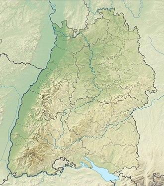
| Map (Baden-Württemberg) | |||
|
|
|||
| Coordinates | 47 ° 45 '44 " N , 7 ° 58' 33" E | ||
The Weißenbach saddle is 1079 m above sea level. NHN high pass crossing between the Geschwend and Todtmoos and thus connects the Präg glacier basin with the Todtmooser Tal. At the same time, the border between the district of Lörrach (→ List of passes in the district of Lörrach ) and the district of Waldshut runs along the pass . The pass runs around half a kilometer as the crow flies southwest of the 1263 m high Hochkopf summit.
profile
From Geschwend, north of the pass, the pass road climbs 10.1 kilometers and overcomes a height difference of 499 meters, which corresponds to an average gradient of 4.9%. The maximum gradient in the upper third is 10%. The north ramp bears the name Landesstraße 149 until the junction to Bernau and then bears the name Landesstraße 151.
The Hochkopfhaus and parking spaces are located at the top of the pass. The streets of the north, south and west driveways (K 6304) converge here. The pass is at the same time the end point of the tenth and the starting point of the eleventh stage of the variant B (eastern route) of the western route . This is conspicuously marked by the Westweg portal "Tor zum Wehratal", about 50 meters from the pass. The approximately three meter high portal, made of granite rock, was inaugurated on May 20, 2009. In addition to the Westweg, there are other hiking trails here. There are also two ski lifts to the Hochkopf ski area south of the pass.
The south ramp of the Weißenbach saddle overcomes a length of 4.9 kilometers and a height of 268 meters, which corresponds to an average gradient of 5.4%. The maximum gradient, located in the lower third, is around 11%. The west ramp, starting from Schönau, overcomes 7.3 kilometers in height difference of 526 meters, which corresponds to an average gradient of 7.2%. The gradient maxima of 12 and 13% are reached at several points along the ramp. The road leads over the 1068 m high Tiergrüble, which acts as an intermediate pass on the route. After the Tiergrüble, the district road, which is also called Fuchswaldstrasse, leads over the Herrenschwand plateau to the Weißenbachsattel.
Web links
- Weißenbachsattel (1079 m) - pass description
- "Gate to the Wehratal" along the west route
Individual evidence
- ↑ Information sheet of the municipality of Todtmoos: Westwegportal "Tor zum Wehratal" , last accessed on June 7, 2019

