Voznesenske (Voznesensk)
| Vosnesenske | ||
| Вознесенське | ||

|
|
|
| Basic data | ||
|---|---|---|
| Oblast : | Mykolaiv Oblast | |
| Rajon : | Voznesensk Raion | |
| Height : | 90 m | |
| Area : | 1.834 km² | |
| Residents : | 1,110 (2001) | |
| Population density : | 605 inhabitants per km² | |
| Postcodes : | 56543 | |
| Area code : | +380 5134 | |
| Geographic location : | 47 ° 37 ' N , 31 ° 32' E | |
| KOATUU : | 4822081201 | |
| Administrative structure : | 1 settlement , 4 villages | |
| Address: | вул. Центральна 11 56543 с. Вознесенське |
|
| Website : | City council website | |
| Statistical information | ||
|
|
||
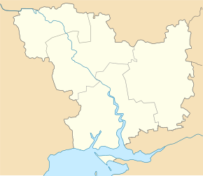
Voznesenske ( Ukrainian Вознесенське ; Russian Вознесенское Voznesenskoje ) is a settlement in the Ukrainian Oblast of Mykolaiv with about 1100 inhabitants (2001).
In 1914, a branch of the experimental station for agriculture in Odessa was established on the area where the village is today , which was the trigger for the establishment of the village in the same year.
The settlement is located at an altitude of 90 m on the regional road P-55 , 17 km northeast of the Voznesensk district center and about 92 km northwest of the Mykolaiv oblast center .
Wosnessenske is the administrative center of the eponymous district municipality in the east of Rajon Wosnessensk to which even the villages Malossolone ( Малосолоне , ⊙ ) with about 400 inhabitants, Razynska dacha ( Рацинська Дача , ⊙ ) with about 240 inhabitants, Soldatske ( Солдатське , ⊙ with) about 120 inhabitants and Stepowe ( Степове , ⊙ ) with about 150 inhabitants.
Individual evidence
- ↑ Local website on the official website of the Verkhovna Rada ; accessed on December 28, 2019 (Ukrainian)
- ^ Local history Voznesenske in the history of the cities and villages of the Ukrainian SSR ; accessed on December 28, 2019 (Ukrainian)
- ^ Website of the district council on the official website of the Verkhovna Rada; accessed on December 28, 2019 (Ukrainian)

