
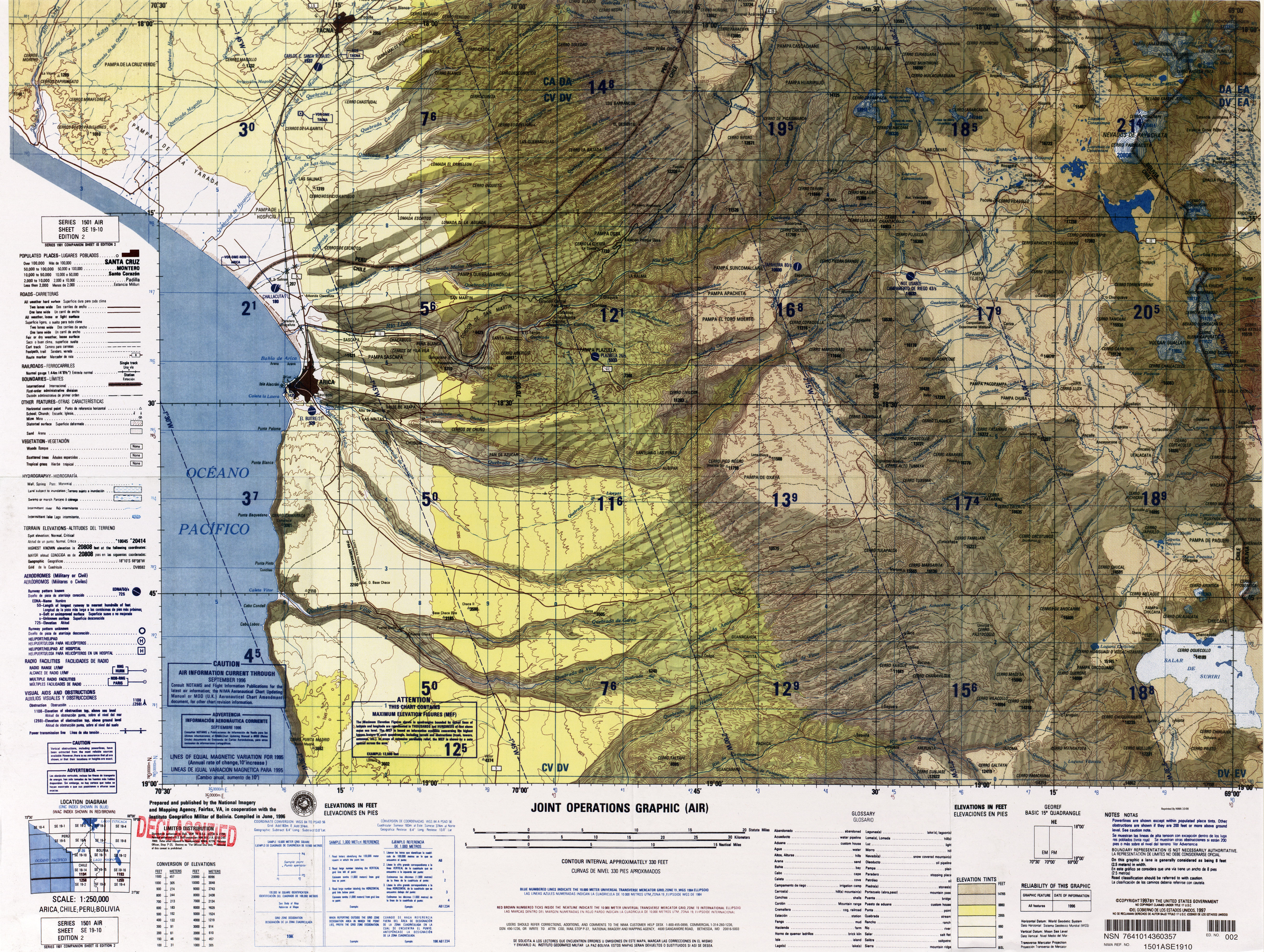
Acotango
| Acotango | ||
|---|---|---|
 Acotango (in the middle of the picture) |
||
| height | 6052 m | |
| location | Oruro Department , Bolivia / Región de Arica y Parinacota , Chile | |
| Mountains | To the | |
| Dominance | 5 km → Guallatiri | |
| Notch height | 1000 m | |
| Coordinates | 18 ° 22 '56 " S , 69 ° 2' 52" W | |
|
||
| Type | Stratovolcano | |

The Cerro Acotango is a 6052 m high stratovolcano on the border between western Bolivia and northern Chile . It is located 160 km east of Arica in the Lauca National Park in the Cordillera Occidental mountains in the central Andes .
Together with the two volcanoes Humarata and Cerro Capurata, it forms the Quimsachata volcanic group. Kimsachata means "three brothers" in the Aymara language . The Acotango is the middle and highest of the three stratovolcanoes.
The Acotango is believed to be an active volcano, its main activity is estimated 10,000 years ago. The southern flank of the volcano is covered by a glacier which, if the volcano erupts again, would pose a latent danger from landslides and floods.
The Chilean researcher Pedro Rosende reports on the remains of firewood on the summit of the Acotango, so that it is suspected that the Acotango may have been a sacred place during the Inca times .
See also
Web links
- Raised relief map Arica 1: 100,000 (PDF; 6.4 MB)