Babenstuben moors
Coordinates: 47 ° 50 ′ 24 ″ N , 11 ° 27 ′ 10 ″ E
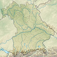
The Babenstubener Moore nature reserve is located in the area of the town of Geretsried in the Bad Tölz-Wolfratshausen district in Upper Bavaria . It is part of the FFH area Moore south of Königsdorf, Rothenrainer Moore and Königsdorfer Alm and belongs to the Tölzer Moorachse .
The 211.3 ha area with the number NSG-00325.01, which was placed under nature protection in 1994 , extends west of the core town of Geretsried. The Loisach flows to the west and the B 11 runs to the east .
The moors are drained in the south via the Tegernseegraben and in the north via the Breitenbach to Loisach.
See also
Individual evidence
Web links
Commons : Babenstubener Moore - Collection of images, videos and audio files


