Boulder Mountain
| Boulder Mountain | ||
|---|---|---|
|
View of the mountain from Route 24 |
||
| height | 3449 m | |
| location | Utah , United States | |
| Mountains | Aquarius plateau | |
| Coordinates | 38 ° 9 '32 " N , 111 ° 30' 2" W | |
|
|
||
|
Lake on the plateau of the Boulder Mountains |
||
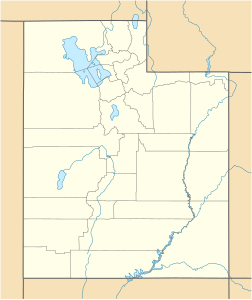
The Boulder Mountain in Utah accounts for about half of the Aquarius Plateau in south-central Utah in Wayne and Garfield County from. The mountain rises in the west of the Capitol Reef National Park and consists of steep slopes and cliffs with over 200 km² of forest and meadows on the surface.
Utah State Route 12 traverses the eastern side of Mountain from Torrey through Boulder and on to Escalante . A number of unpaved roads allow access to the summit during the short snow-free period, usually only a few months from July to September.
The Potentilla angelliae is an endemic plant found on Boulder Mountain.
Individual evidence
- ↑ Boulder Mountain ( Memento of the original from September 18, 2012 in the web archive archive.today ) Info: The archive link was automatically inserted and not yet checked. Please check the original and archive link according to the instructions and then remove this notice. on Utahoutdoors.com
Web links
Commons : Boulder Mountain - Collection of images, videos and audio files


