Boyer River
| Boyer River | ||
|
The Boyer River near Denison |
||
| Data | ||
| location | Iowa , USA | |
| River system | Mississippi River | |
| Drain over | Missouri → Mississippi → Gulf of Mexico | |
| source |
Storm Lake 42 ° 30 ′ 5 ″ N , 95 ° 16 ′ 32 ″ W. |
|
| muzzle | in the Missouri River coordinates: 41 ° 27 ′ 11 " N , 95 ° 55 ′ 9" W 41 ° 27 ′ 11 " N , 95 ° 55 ′ 9" W
|
|
| length | 224 km | |
|
The Boyer River near Denison |
||
The Boyer River is an east tributary of the Missouri River in the western US state of Iowa . The river was named after a settler in the period before the Lewis and Clark Expedition .
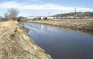
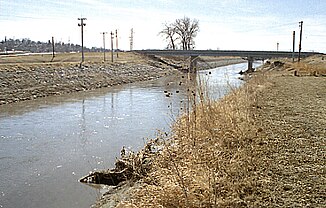
The Boyer River is straightened and channeled for much of its course . Its source is near Storm Lake in southwest Buena Vista County . It first flows south into Sac County . In the south of Sac County, it changes direction to the southwest. Tributaries of the Boyer River are the East Boyer River and the Willow River .
In Pottawattamie County it empties into the Missouri, on its opposite bank there (in the state of Nebraska that) nature reserve Boyer Chute National Wildlife Refuge is located. This is about 20 kilometers north of Omaha .
In the 1830s, the German naturalist Maximilian zu Wied-Neuwied also traveled to the area around the mouth of the Boyer River as part of an expedition and processed his experiences in the book "Journey to Inner North America 1832-1834" .

