Brandberg (Vienna)
| Brandberg | ||
|---|---|---|
| height | 419 m above sea level A. | |
| location | Vienna , Austria | |
| Mountains | Vienna Woods | |
| Dominance | 0.23 km → Dreihufeisenberg | |
| Coordinates | 48 ° 10 '47 " N , 16 ° 12' 14" E | |
|
|
||
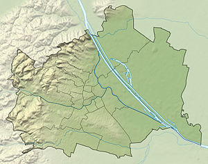
The Brandberg is a 419 m high mountain in the 13th district of Hietzing in Vienna .
geography
The Brandberg is located in the east of the Lainzer Tiergarten in the cadastral community of Auhof on the border with Purkersdorf . To the northeast of it lies the Johannser Kogel and to the southeast the Hornauskogel . The mountain is part of the Vienna Woods Mountains , the northeastern foothills of the Eastern Alps .
history
The Brandberg is probably named after the nearby field name Brand , which describes a piece of forest that was affected by a forest fire or slash-and-burn. This field name is first documented in 1788. The Brandwiese is also located in the southeast .
literature
- Margarete Platt: The field names in the 10th, 12th and 13th districts of Vienna and in Inzersdorf . Dissertation, Vienna 1997
