Chentii Mountains
| Chentii Mountains (Kentei Mountains) | ||
|---|---|---|
| Highest peak | Asralt Khairkhan Uul ( 2800 m ) | |
| location |
Mongolia , Transbaikalia Region (Russia) |
|
|
|
||
| Coordinates | 48 ° 47 ' N , 109 ° 10' E | |
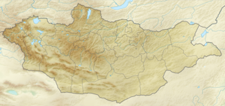
The Khentii Mountains , also Kenteigebirge ( Mongolian Хэнтий нуруу , Khentii nuruu ; Russian хребет Хэнтэйский , Chenteiski Chrebet , Chentei mountains or comb ) is a mountain in the Töw- and Khentii aimags- in the north of Mongolia and the region Trans-Baikal in Russia .
The mountains reach a height of up to 2800 m . Part of the mountain range in Mongolia includes the Khan Chentii Conservation Area . There is the holy mountain Burchan Chaldun , the area around which is considered to be the birthplace of Genghis Khan . In the Russian part, the area around the 2500 m high mountain Sochondo is protected as Sapowednik Sochondo .
The Chentii Mountains form the watershed between the Arctic Ocean (across Lake Baikal ) and the Pacific Ocean . The rivers Onon , Cherlen , Tuul , Ingoda and Mensa have their source in the Chentii Mountains .
Web links
- Chentii Mountains in the Transbaikalia Encyclopedia (Russian)
Individual evidence
- ↑ Article Chentii Mountains in the Great Soviet Encyclopedia (BSE) , 3rd edition 1969–1978 (Russian)
