
Farmington River (Liberia)
| Farmington River | ||
 |
||
| Data | ||
| location |
West Africa Liberia |
|
| River system | Farmington River | |
| source | In the Bong Mountains area of central Liberia, 6 ° 52 ′ 26 ″ N , 10 ° 1 ′ 55 ″ W |
|
| Source height | 300 m | |
| muzzle |
Atlantic Ocean Coordinates: 6 ° 7 ′ 53 " N , 10 ° 22 ′ 17" W 6 ° 7 ′ 53 " N , 10 ° 22 ′ 17" W |
|
| Mouth height | 0 m | |
| Height difference | 300 m | |
| Bottom slope | 2 ‰ | |
| length | 153 km | |
| Catchment area | 5249 km² | |
| Left tributaries | Bolo, Nia Creek, Wo | |
| Right tributaries | You junk (Bo) | |
| Reservoirs flowed through | Firestone hydroelectric power station | |
| Small towns | Harbel | |
| Navigable | navigable in the lower reaches | |
The Farmington River is a river in the West African Republic of Liberia , it flows into the Atlantic about 40 kilometers southeast of the capital Monrovia .
course
The headwaters of the Farmington River are in the Bong Mountains in central Liberia. After about 30 kilometers, the breakthrough valley in the Gibi Ridge Mountains is reached. The Borlola River Bridge crosses the river near the mouth of the Borola .
From 30 kilometers north of Harbel, the right western bank is accompanied by the largest rubber plantation in the world, which was founded in 1926 by the Firestone Tire & Rubber Company . The Firestone hydroelectric power station was built on Mount Hydro , near the town of Harbel . The river is also used for the inexpensive transportation of rubber products, a river port was created for this purpose, the small transport ships bring their freight to the loading port, the Freeport Monrovia .
history
The coastal area south of Harbel was already the 19th century by the middle American Colonization Society (ACS) of the Kru bought, the settlers of the ACS submitted extensive sugar cane - and palm oil plantations on, as cheap labor found there first the Congos - from the US -Marine freed black Africans to be shipped to the Caribbean by slave ships , employment.
Web links
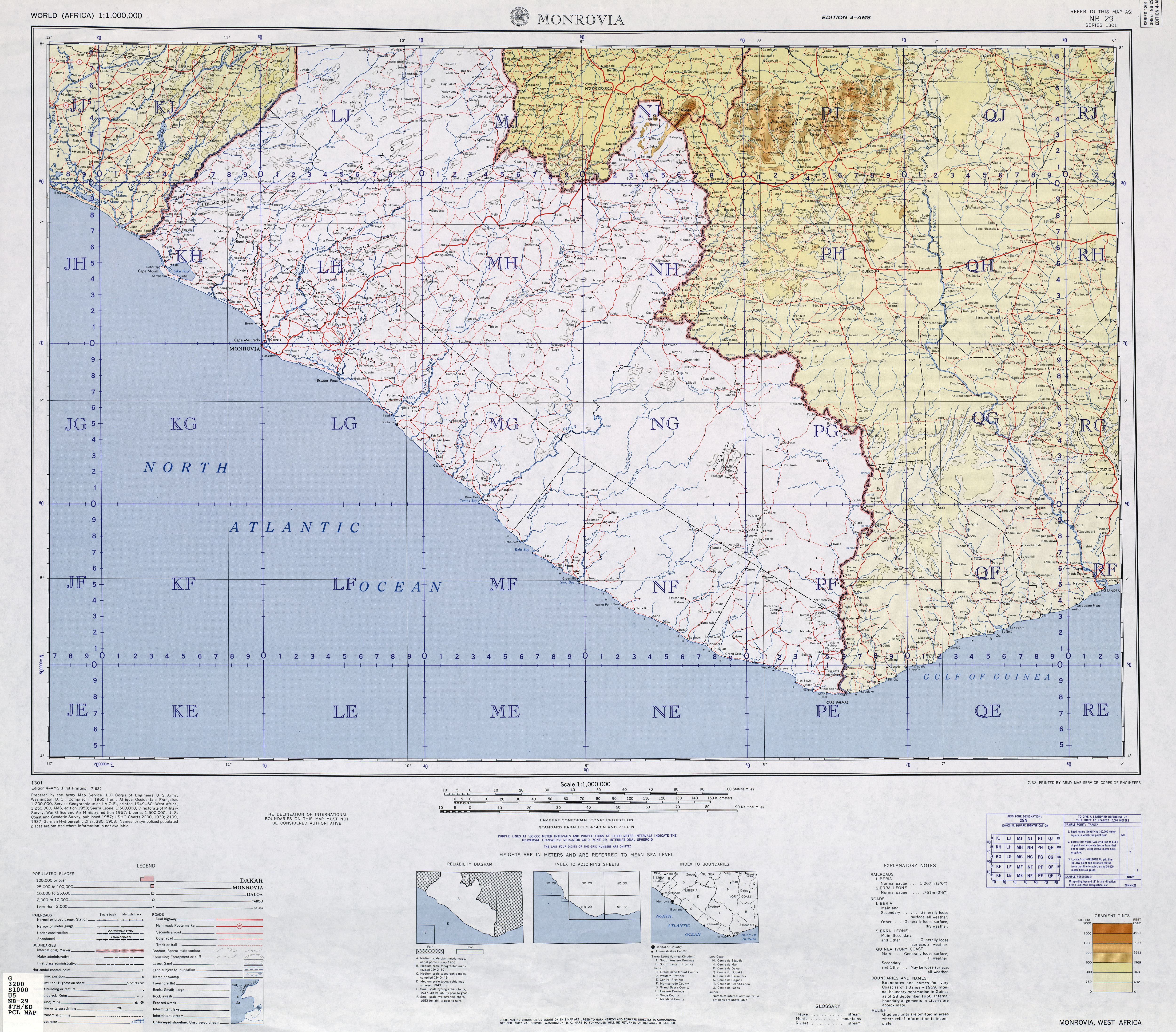
- TK250 NB29-4 (MONROVIA) , US Army Map Service (Ed.), Washington 1960, (Course in Liberia)
literature
- JW Lugenbeel: The republic of Liberia: its geography, climate, soil and productions, with a history of its early settlements . GS Stockwell, New York 1868, p. 299 (English, limited preview in Google Book search).
Individual evidence
- ^ A b Liberian Hydrological Services - Farmington River Principal Basin Tables, Figures and Maps
- ↑ Liberia River Basins 2016 - Drainage Divisions and River Basin Boundaries
- ↑ Measure distances with google maps; From the satellite perspective, the plantation can be recognized by the regular spacing of the trees