Fotu La
| Fotu La | |||
|---|---|---|---|
| Compass direction | west | east | |
| Pass height | 4108 m | ||
| District | Kargil | Leh | |
| Watershed | Kanji Nala → Indus | → Yapola → Indus | |
| Valley locations | Chiktan | Lamayuru | |
| expansion | Pass road | ||
| Mountains | Himalayas | ||
| particularities | Highest point on National Highway 1D |
||
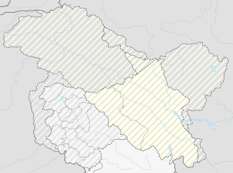
| Map (Ladakh) | |||
|
|
|||
| Coordinates | 34 ° 17 '21 " N , 76 ° 42' 5" E | ||
The Fotu La is a mountain pass along the National Highway 1D in Ladakh in the Himalayas .
The pass is the highest point the road between Srinagar and Leh passes.
While the road slopes from here to the east to Lamayuru , it leads to the west over the Namika La pass before it reaches Kargil . Between the two mountain passes is the Shakar Chiktan Valley , through which a side road leads north past the village of Chiktan to the Indus Valley .
literature
- Hilary Keating: The Road to Leh. In: Saudi Aramco World. Volume 44, Number 4, July-August 1993, pp. 8-17.
