
Grand Cess River
|
Grand Cess River Nueh River |
||
 |
||
| Data | ||
| location |
West Africa Liberia |
|
| River system | Grand Cess River | |
| source | Headwaters in the northern Tiehnpo Range 5 ° 30 ′ 47 ″ N , 8 ° 6 ′ 22 ″ W |
|
| Source height | 280 m | |
| muzzle |
Atlantic Ocean Coordinates: 4 ° 34 ′ 10 " N , 8 ° 13 ′ 56" W 4 ° 34 ′ 10 " N , 8 ° 13 ′ 56" W |
|
| Mouth height | 0 m | |
| Height difference | 280 m | |
| Bottom slope | 2.4 ‰ | |
| length | 115 km | |
| Catchment area | 1685 km² | |
| Left tributaries | Felo Creek, Hene Creek | |
| Right tributaries | Palene Creek, Kpo Creek | |
| Medium-sized cities | Barclayville , Grand Cess | |
| Navigable | not navigable | |
The Grand Cess River , also known as the Nueh River , is a river in the Republic of Liberia in West Africa .
course
The Grand Cess River has its source in the northern Tiehnpo Range in the western River Gee County and then flows through the Grand Kru County in countless turns . The river flows into the Atlantic at the coastal town of Grand Cess .
The landscape of the Grand Cess River is shaped by the tropical rainforest and is only sparsely populated.
history
The region was the scene of bitter fighting as recently as the 1920s. The conflicts over dominance in the lucrative coastal trade, which were also carried out within the indigenous population groups, became known as Kru Wars (German: Kru Wars). It was not until the early 1930s that the last uprisings were cracked down with great brutality by government troops.
resources

As a result of an extensive exploration of deposits , iron ore - diamond - and gold deposits were found in the upper reaches of the Grand Cess River . The region is used for agriculture and forestry, there are some palm oil plantations on the lower reaches . A modern road network is practically non-existent. With the support of USAID , the George W. Bush Bridge was built as the first modern bridge near Barclayville .
Web links
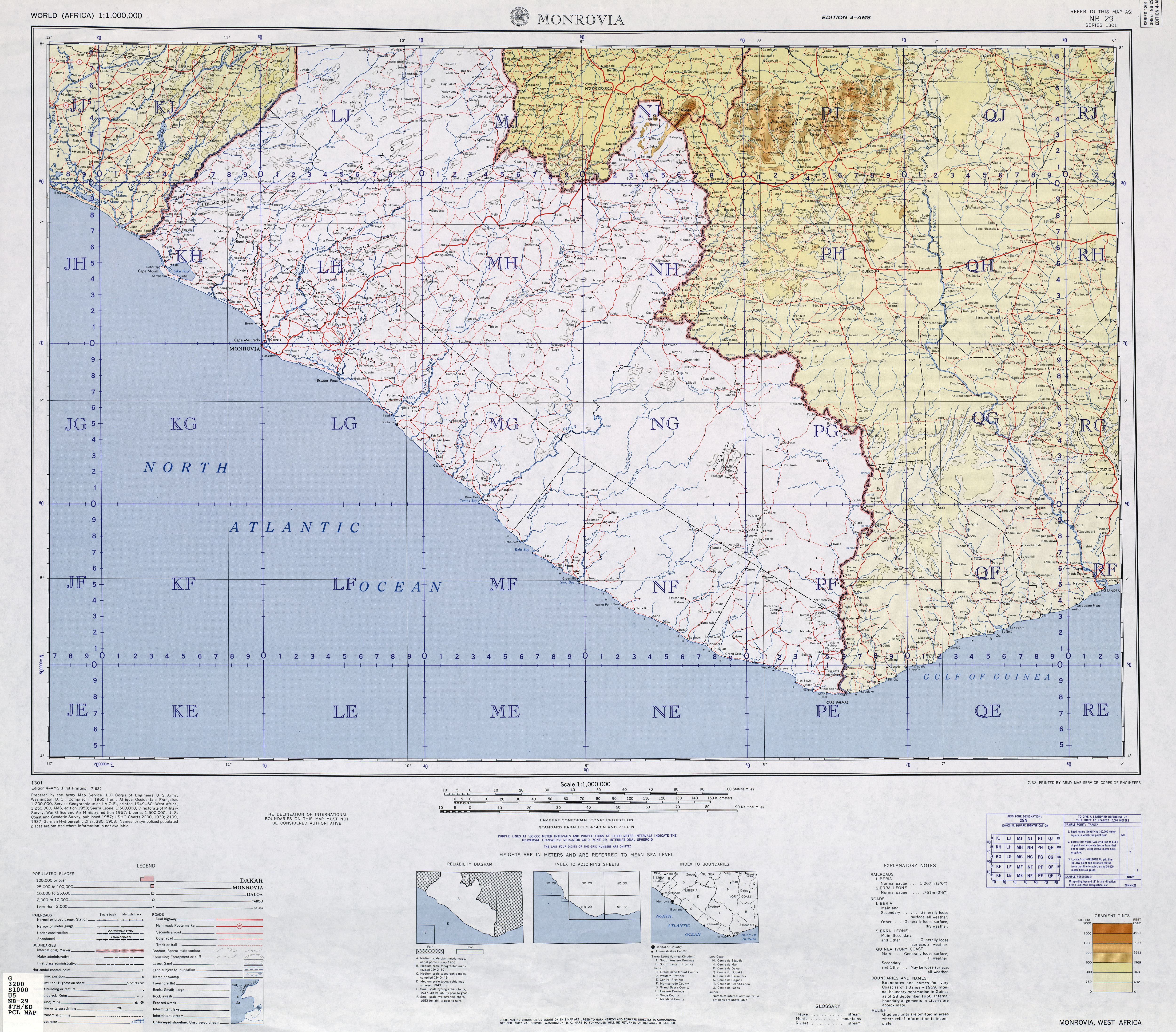
- TK250 NB29-4 (MONROVIA) , US Army Map Service (Ed.), Washington 1960
literature
- JW Lugenbeel: The republic of Liberia: its geography, climate, soil and productions, with a history of its early settlements . GS Stockwell, New York 1868, p. 299 ( limited preview in Google Book search).
Individual evidence
- ^ Liberian Hydrological Services - Grand Cess River Principal Basin Tables, Figures and Maps
- ↑ Liberia River Basins 2016 - Drainage Divisions and River Basin Boundaries
- ↑ TRC Final Report: Volume II. (PDF) TRC, July 2009, p. 384 , archived from the original on October 31, 2010 ; accessed on January 31, 2011 (English, PDF; 3.1 MB).
- ^ Grand Kru County Development Agenda. (PDF; 2.9 MB) Gouvernement of Liberia, 2008, p. 76 , accessed on January 31, 2011 (English, the cover picture shows the bridge shortly after its completion).