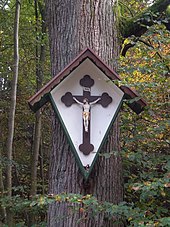
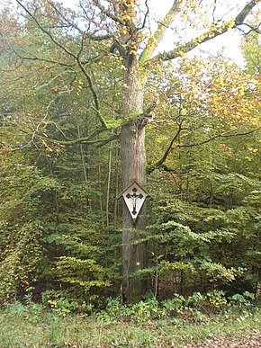
Herrgottseiche (Giesel)
| Herrgottseiche near Giesel | ||
|---|---|---|
|
Herrgottseiche on the pilgrimage route from Giesel to Kleinheiligkreuz
|
||
| place | Giesel | |
| country | Hessen , Germany | |
| Tree species | English oak | |
| Geographical location | 50 ° 30 '52.2 " N , 9 ° 33' 11.6" E | |
|
|
||
The Herrgottseiche is located on the Himmelsberg approx. 1.5 km west of the center of Giesel in the west of the eastern Hessian district of Fulda . The heavily forested Himmelsberg is a nature reserve and a popular excursion destination for Fulda residents
Location
The oak stands on the old pilgrimage route from Giesel to the pilgrimage church of Kleinheiligkreuz . From 1731 to 1962 Kleinheiligkreuz belonged to the parish of Giesel and the oak is still a destination for pilgrims and hikers today. It stands at the crossroads of the old high and trade routes Antsanvia and the Celtic local route .

History
The Herrgottseiche has been a signpost or orientation point for many people in the Fulda region for centuries , both from a religious and social point of view .
At the time of German nationalism, the German Revolution of 1848/49 and the Kulturkampf , it was a political symbol. In the 19th century, a "Hermann's oak" had symbolic, social significance, just like the many local "imperial empires" in its day. At the time of the Electorate of Hesse , the tree was called "Hermannseiche", as is recorded on the maps of the Electorate of Hesse, Blatt Großenlüder from 1858, on the "upper Ingelberg". In popular piety , however, it remained the "Lord Gods Oak" for centuries.
literature
- Erwin Lorey: The Himmelsberg and its natural surroundings - from becoming and discovering its landscape , 1st edition 2010, German National Library, ISBN 978-3-86805-567-2

