Hollow yoke
| Hollow yoke | |||
|---|---|---|---|
|
Hohljoch from the Teufelskopf |
|||
| Compass direction | Southeast | northwest | |
| Pass height | 1794 m above sea level A. | ||
| state | Tyrol | ||
| Watershed | Laliderer Bach Karwendelbach → Rißbach → Isar | Rissbach → Isar | |
| expansion | trail | ||
| Mountains | Karwendel | ||
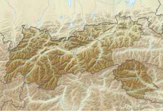
| Map (Tyrol) | |||
|
|
|||
| Coordinates | 47 ° 23 '42 " N , 11 ° 31' 25" E | ||
The Hohljoch ( 1794 m above sea level ) connects the Gamsjoch group with the Hinterautal-Vomper chain and is the only easy transition between the Laliderer valley, which frames the Gamsjoch group, and the Enger valley .
Tour possibilities
The Hohljoch is part of the Adlerweg , which leads from the Eng to the Falkenhütte . Furthermore, the Teufelskopf can be climbed directly from the Hohljoch. The opposite side to the Dreizinkenspitze , on the other hand, drops almost vertically 900 m with the Lalider walls .

