
Iassynez
| Iassynez | |||
| Ясинець | |||

|
|
||
| Basic data | |||
|---|---|---|---|
| Oblast : | Rivne Oblast | ||
| Rajon : | Dubrovitsia district | ||
| Height : | 141 m | ||
| Area : | 0.69 km² | ||
| Residents : | 544 (2011) | ||
| Population density : | 788 inhabitants per km² | ||
| Postcodes : | 34141 | ||
| Area code : | +380 3658 | ||
| Geographic location : | 51 ° 38 ' N , 26 ° 35' E | ||
| KOATUU : | 5621887302 | ||
| Administrative structure : | 2 villages | ||
| Address: | вул. Шевченка 2а 34141 с. Селець |
||
| Statistical information | |||
|
|||


Jassynez ( Ukrainian Ясинець ; Russian Ясинец Jassinez , Polish Jasieniec ) is a village in Dubrowyzja Rajon of western Ukraine in Rivne Oblast with about 500 inhabitants.
location
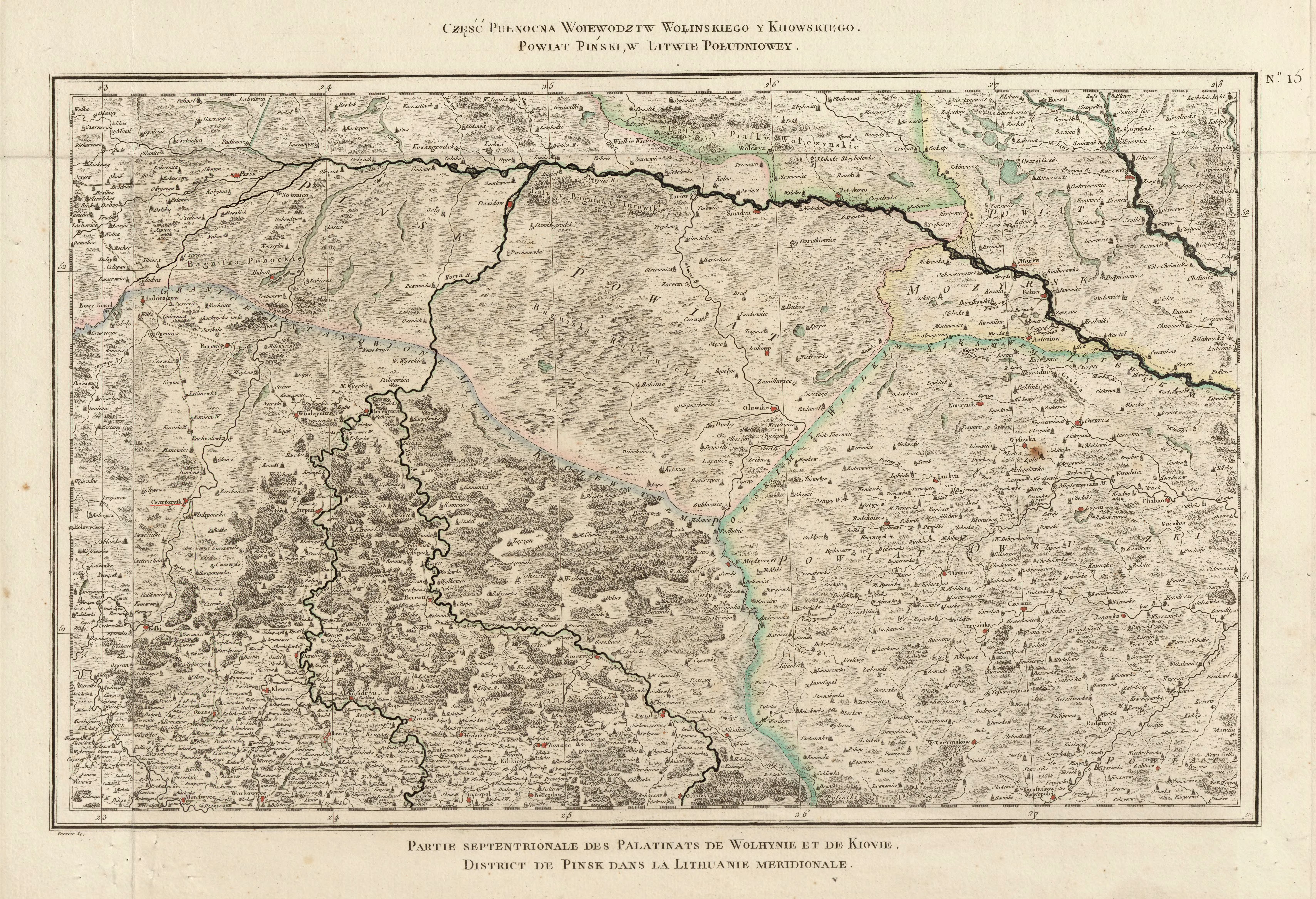
The small town is about 7 kilometers north of the Rajons capital Dubrowyzja and 115 kilometers northeast of the Oblast capital Rivne near the border with Belarus on the Horyn River . The R 05 road runs through the village in a north-south direction , and together with the village of Selez to the east, it forms the Selez district council of the same name.
history
The village was mentioned in writing for the first time in 1610 and was part of the aristocratic republic of Poland-Lithuania in the Voivodeship of Volyn until 1795 . Then it came to the newly founded Volhynia Governorate as part of the Russian Empire . After the end of the First World War the place became part of the Second Polish Republic ( Voivodeship Volhynien , Powiat Sarny, Gmina Dąbrowica), after the outbreak of the Second World War the area was occupied by the Soviet Union and from 1941 by Germany . In 1945 it finally came to the Soviet Union and was incorporated into the Ukrainian SSR , in 1991 it finally became part of today's Ukraine.
Web links
- Jasieniec . In: Filip Sulimierski, Władysław Walewski (eds.): Słownik geograficzny Królestwa Polskiego i innych krajów słowiańskich . tape 15 , part 2: Januszpol – Wola Justowska . Walewskiego, Warsaw 1902, p. 9 (Polish, edu.pl ).
- Information on the Polish time of the place