Bald Wart (pass)
| Bald wait | |||
|---|---|---|---|
|
Kahle Wart pass road |
|||
| Compass direction | North | south | |
| Pass height | 249 m above sea level NN | ||
| district | Minden-Lübbecke | ||
| Valley locations | Blasheim | Upper peasantry | |
| expansion | District road K 60 | ||
| Mountains | Wiehengebirge | ||
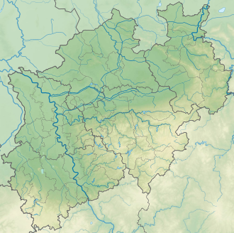
| map | |||
|
|
|||
| Coordinates | 52 ° 16 ′ 31 " N , 8 ° 35 ′ 16" E | ||
The pass road Kahle Wart is a pass in East Westphalia , which leads over the Wiehengebirge and connects the Obermehnen district ( belonging to Lübbecke ) in the north with the Oberbauerschaft part of the municipality south of the Wiehengebirge ( belonging to Hüllhorst ) .
The road over this pass is the district road K 60 of the Minden-Lübbecke district .
history
The pass road was badly damaged by falling trees during the Lothar storm . As a result, the maintenance of the road was discussed for the first time and the community connection between Hüllhorst and Lübbecke to form district road on January 1, 2009. The repair of the district road has since been dealt with in the planning of the Minden-Lübbecke district with an option for expansion with a higher standard cross-section, which would also allow truck traffic.
description
The open-air theater Kahle Wart is located at the foot of the Wiehengebirge and at the southern end of the pass road .
Individual evidence
- ↑ Mindener Tageblatt: Holzabfuhrweg becomes Kreisstraße, May 16, 2009. ( Memento from September 10, 2012 in the web archive archive.today )

