
Karnaphuli
|
Karnaphuli Khawthlangtuipui |
||
.jpg) Aerial view of the mouth of the Karnaphuli |
||
| Data | ||
| location |
Mizoram ( India ), Chittagong ( Bangladesh ) |
|
| origin |
Lushai Hills 22 ° 57 ′ 8 ″ N , 92 ° 30 ′ 30 ″ E |
|
| muzzle |
Gulf of Bengal Coordinates: 22 ° 13 ′ 12 " N , 91 ° 48 ′ 18" E 22 ° 13 ′ 12 " N , 91 ° 48 ′ 18" E
|
|
| Left tributaries | Thega , Rankhiang | |
| Right tributaries | Kasalong , Chengi , Ichamati , Halda | |
| Reservoirs flowed through | Karnaphulistausee | |
| Big cities | Chittagong | |
| Medium-sized cities | Rangamati | |
| Small towns | Barkal , Kaptai , Rangunia | |
The Karnaphuli ( Bengali কর্ণফুলি Karṇaphuli , Mizo : Khawthlangtuipui ), also written Karnafuli , is a river that rises in India , crosses Bangladesh and flows into the Bay of Bengal .
location
The Karnaphuli is the largest river in the Chittagong Division in southeastern Bangladesh. It runs through the Chittagong Hill Tracts and the Chittagong District . It has its origins in Mizoram , an Indian state bordering Bangladesh to the east.
course

The Karnaphuli arises in the Lunglei district in Mizoram in the Lushai Hills , a foothill of the Himalayas , from several source rivers that flow between the parallel ridges in a north-south direction and merge at a height of about 60 meters. In Mizo , the main language of the people of Mizoram, the river is called Khawthlangtuipui . The source rivers include the Deh, Kao, Phairuang, Tuichawng and Tuipui rivers. Occasionally the Tuipui, which arises in the Mamit district, is also referred to as the Khawthlangtuipui and is therefore regarded as the actual upper reaches of the Karnaphuli.
From the union point, the Karnaphuli initially flows west to the border between India and Bangladesh. There the Thega (Kawrpui) coming from the south flows into it. From there, the Karnaphuli runs for a few kilometers along the national border to the northwest, then turns sharply and flows south along the east side of the Vampai Tlang. At the end of the range of hills he turns west again at Barkal .
The further course, which originally led in large loops to the southeast, has been covered by the Karnaphulistausee since the 1960s . Not only is the Karnaphuli dammed, but also its former tributaries, including the Kasalong , Chengi and Rankhiang rivers . As a result, the lake extends further in the direction transverse to the Karnaphuli than in its longitudinal direction. Through a chain of hills extending in a north-south direction, it assumes an approximately H-shape of two elongated lakes, which are connected by a narrow cross-link, the Shuvalong Gorge, which breaks through the chain of hills. The Karnaphuli flows through this H-shape diagonally to the southwest.
After leaving the reservoir at Kaptai , the Karnaphuli initially flows in large loops essentially to the southwest, whereby it becomes wider and wider. Coming from the north, the Ichamati flow into it at Rangunia , and the Halda at the city limits to Chittagong . There the river turns south and after a few kilometers changes into an approximately 20 kilometers long S-shaped section, at the end of which it flows into the Gulf of Bengal with a confluence .

Boat trip

Boats on the river

Ships on the river

at the mouth

.jpg)
.jpg)

traffic

.jpg)
The lower reaches of the Karnaphuli are navigable . About 15 kilometers above its mouth, the port of Chittagong is located on the S-shaped section of the river downstream of the Shah Amanat Bridge.
On the route from the Karnaphulistausee to the sea, the Karnaphuli is crossed by three bridges: a bridge at Sharafbhata and the Kalurghat Bridge and the Shah Amanat Bridge in Chittagong . The construction of the Karnaphuli Tunnel is planned near the mouth , a 3.5 kilometer long road tunnel under the river. The foundation stone was laid in 2017, and the actual drilling work for the tunnel began in 2019.
use
The Karnafuli Hydropower Station , which was built in 1962 and is the only hydroelectric power station in Bangladesh, is located on the dam of the Karnaphuli reservoir near Kaptai . As a storage power plant , it uses the reservoir level of the lake to generate electricity and has a peak output of 230 megawatts .
In 2017, the first water treatment plant was inaugurated in Chittagong, with which the river water of the Karnaphuli is made into drinking water. Further plants of this type are to follow.
literature
- Mesbah-us-Saleheen, Sifatul Quader Chowdhury: Karnafuli River . In: Asiatic Society of Bangladesh (Ed.): Banglapedia - the National Encyclopedia of Bangladesh . 2nd Edition. 2012 (English, banglapedia.org ).
Web links
Individual evidence
- ↑ Karnaphuli River. In: GeoNames. Retrieved May 7, 2019 .
- ↑ HS Mozaddad Faruque: Chittagong Region River System . In: Banglapedia . 2nd Edition. 2012 (English, banglapedia.org ).
- ↑ Origin of the Karnaphuli. In: ACME Mapper 2.2. Retrieved May 8, 2019 .
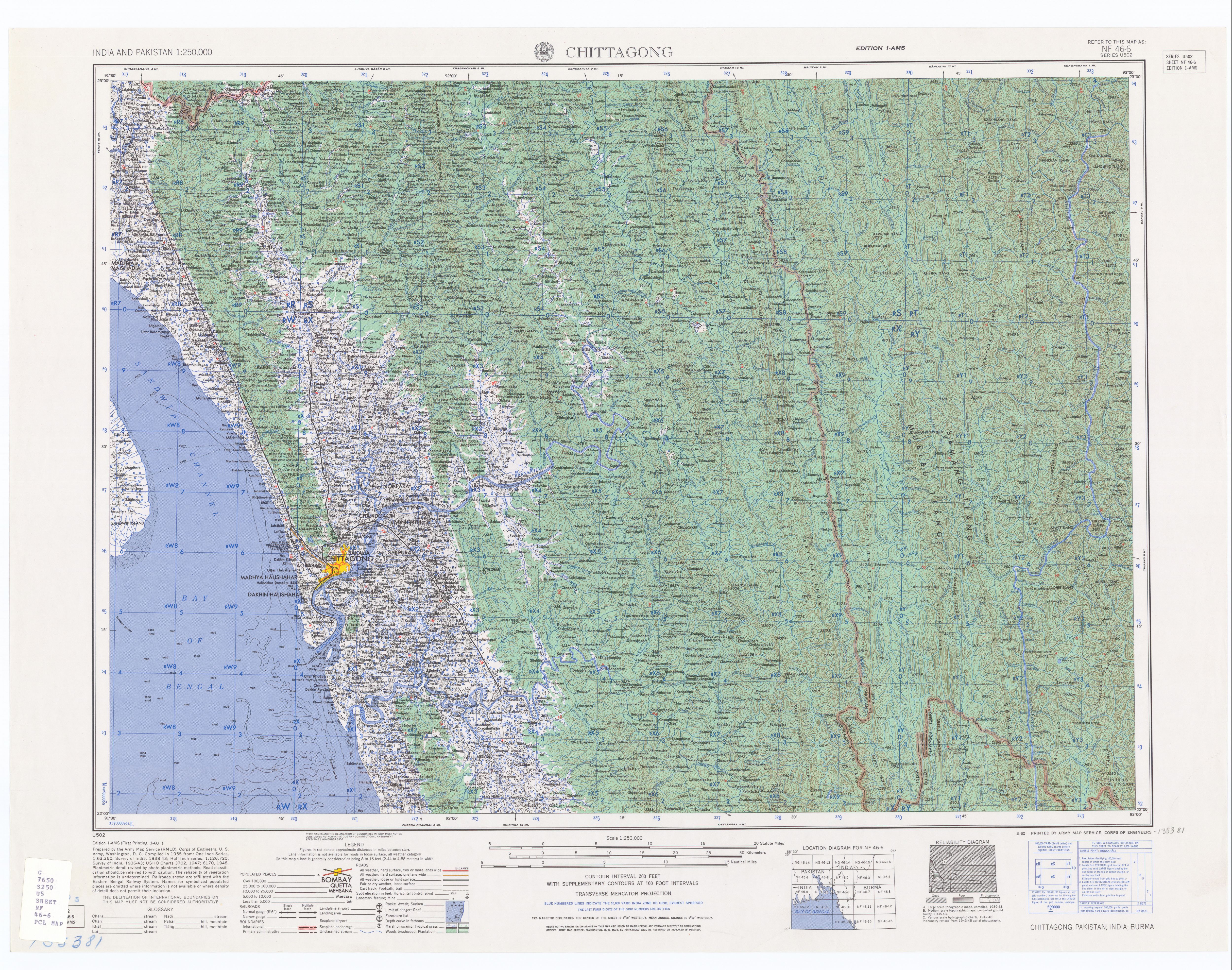
- ↑ Chittagong . Topographic map. In: India and Pakistan 1: 250,000 . ed. 1-AMS. series U502, sheet NF 46-6. US Army Map Service, March 1960 ( utexas.edu [JPG; 5.6 MB ]).
- ↑ Rintluanga Pachuau: Mizoram: A Study in Comprehensive Geography . Northern Book Center, New Delhi 2009, ISBN 978-81-7211-264-6 , pp. 40 ( limited preview in Google Book Search [accessed May 8, 2019]).
- ↑ PM launches mining work of Karnaphuli Tunnel in Chittagong. In: Dhaka Tribune. February 24, 2019, accessed May 7, 2019 .
- ↑ Sifatul Quader Chowdhury: Karnafuli Hydropower Station . In: Banglapedia . 2nd Edition. 2012 (English, banglapedia.org ).
- ↑ Anwar Hussain: Chittagong's first water treatment plant ready for inauguration. In: Dhaka Tribune. March 11, 2017, Retrieved May 8, 2019 .
- ↑ Salamat Ullah: Madunaghat Water Treatment Plant to start production by June. In: Daily Sun. March 7, 2018, accessed May 8, 2019 .