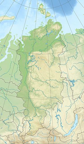
Small Lake Chantaika
| Small Lake Chantaika | ||
|---|---|---|
| Geographical location |
Putorana Mountains , Krasnoyarsk Territory ( Russia ) |
|
| Tributaries | from Chantaisee | |
| Drain | Chantaika → Yenisei | |
| Data | ||
| Coordinates | 68 ° 19 ′ 49 ″ N , 89 ° 31 ′ 20 ″ E | |
|
|
||
| Altitude above sea level | 65 m | |
| surface | 58 km² (approx. 70 km² with neighboring lakes / bays) |
|
| length | approx. 11 km | |
| width | approx. 8 km | |
| Catchment area | 401 km² | |
The Little Khantaika Lake ( Russian Озеро Малое Хантайское , Osero Maloje Khantaiskoje) is an approximately 58 km² (with neighboring lakes and bays 70 km²) large lake on the Chantaika west of the Putorana Mountains , the northwestern part of the Central Siberian highlands in the Autonomous Region , in the north of the Krasnoyarsk Territory , from Siberia and Russia ( Asia ).
Geographical location
The Little Chantaika Lake is located on average around 200 km north of the Arctic Circle, a little west of the Putorana Mountains (max. 1701 m ), where it extends in a west-east direction on the eastern Yenisei tributary Chantaika . While its hilly landscape rises to the east over the Chantai lake into the mountains, it gradually falls to the west over the Chantaika reservoir into the eastern foothills of the West Siberian lowlands .
The Small Chantaika Lake is about 65 m long , in the northwest-southeast direction with the southeast Delitakimsee (actually a bay of the Small Chantaika Lake ) is about 11 km long and in the west-east direction about 8 km wide.
The small Chantaika lake is connected to the large Chantaisee at the same height via the Nekondasee, located between the two still waters , and the Chantaika, which flows through both lakes, is quite wide and comes from the east. While it is fed by this river and a few other streams, the Chantaika, which flows further west through the Chantaika reservoir and ultimately flows into the Yenisei, is its only drain.
In addition to the Chantaisee, the Kleine Chantaika-See is surrounded by these small lakes: Nekondasee (northeast), Delitschisee (east), Komtschisee (east-southeast), Delitakimsee (southeast) with adjoining Togodysee (south) and Arbaklisee (southwest). A couple of these lakes, each at an altitude of 65 m , are bays of the Small Chantaika Lake , which is particularly true of the Delitakim Lake .
The settlement Delitakim ( ⊙ ) is located on a peninsula at the transition from the Small Chantaika Lake to the Delitakim Lake . Otherwise the shores of the lake are uninhabited.
Climate, flora and fauna
The Lesser Lake Chantaika region is located in the area of permafrost . The lake is covered by ice from October to June every year . Boreal coniferous forests (taiga) thrive on its banks and the tundra with its mosses and lichens dominates the surrounding mountains . For example, perch fish , pike and salmon fish live in the fish-rich lake .
Individual evidence
- ↑ a b Small Lake Khantaika in the State Water Register of the Russian Federation (Russian)
- ↑ a b Topographic map (1: 200.000, Bl. R-45-XXXV, XXXVI, Ed. 1989), Kleiner Chantaika-See u. a. with parts of the Chantaika reservoir (left), Chantai lake (right) and the three still waters connecting the Chantaika (with heights above sea level ); on mapr45.narod.ru
