
Kornyn (village)
| Kornyn | |||
| Корнин | |||

|
|
||
| Basic data | |||
|---|---|---|---|
| Oblast : | Rivne Oblast | ||
| Rajon : | Rivne district | ||
| Height : | 186 m | ||
| Area : | 1.28 km² | ||
| Residents : | 2,363 (2001) | ||
| Population density : | 1,846 inhabitants per km² | ||
| Postcodes : | 35304 | ||
| Area code : | +380 362 | ||
| Geographic location : | 50 ° 33 ' N , 26 ° 17' E | ||
| KOATUU : | 5624685901 | ||
| Administrative structure : | 5 villages | ||
| Address: | вул. Центральна 41 35304 с. Корнин |
||
| Statistical information | |||
|
|||


Kornyn ( Ukrainian Корнин , Russian Корнин Kornin , Polish Kornin or older Kiekornin ) is a village in western Ukraine about 13 kilometers west of the Rajon and Oblast capital Rivne on the river Ustja ( Устя ).
,_%D1%81.%D0%9A%D0%BE%D1%80%D0%BD%D0%B8%D0%BD,.jpg)
On December 23, 2018, the village became the center of the newly founded rural community Kornyn ( Корнинська сільська громада Kornynska silska hromada ). This also includes the 4 villages Kolodenka , Porosowe ( Порозове ), Sahoroschtscha ( Загороща ) and Tajkury ( Тайкури ), until then the village together with the villages Kolodenka and Sahoroschtscha formed the district council of the same name .
history
The place is mentioned in writing for the first time in 1470 and until 1793 belonged to the aristocratic republic of Poland-Lithuania in the Volyn Voivodeship . With the partitions of Poland , the place fell to the Russian Empire and was in the Volhynia governorate until the end of the First World War .
After the First World War, the place became part of Poland (in the Voivodeship of Volyn , Powiat Równe , Gmina Równe ), during World War II it was occupied by the Soviet Union between 1939 and 1941 . After the attack on the Soviet Union in June 1941 it was occupied by Germany until 1944 , this divided the place into the Reichskommissariat Ukraine in the general district Brest-Litowsk / Volhynien-Podolia , district Rovno .
After the war, the place was added to the Soviet Union. There the village became part of the Ukrainian SSR and since the collapse of the Soviet Union in 1991 it has been part of the independent Ukraine.
Web links
- Корнин, Ровенський район, Ровенська область »Історія міст і сіл Української РСР. Entry on the place in the encyclopedia of the history of cities and villages of the Ukrainian SSR . In: ukrssr.com.ua. (Ukrainian).
- Kornin . In: Filip Sulimierski, Władysław Walewski (eds.): Słownik geograficzny Królestwa Polskiego i innych krajów słowiańskich . tape 15 , part 2: Januszpol – Wola Justowska . Walewskiego, Warsaw 1902, p. 126 (Polish, edu.pl ).
Individual evidence
- ↑ Про перші вибори депутатів сільських, селищних, міських рад об'єднаних територіальних громад і відповідних сільських, селищних, міських голів 23 грудня 2018 року "Нормативні акти Центральної виборчої комісії. In: act.cvk.gov.ua. Retrieved February 11, 2020 (Ukrainian).
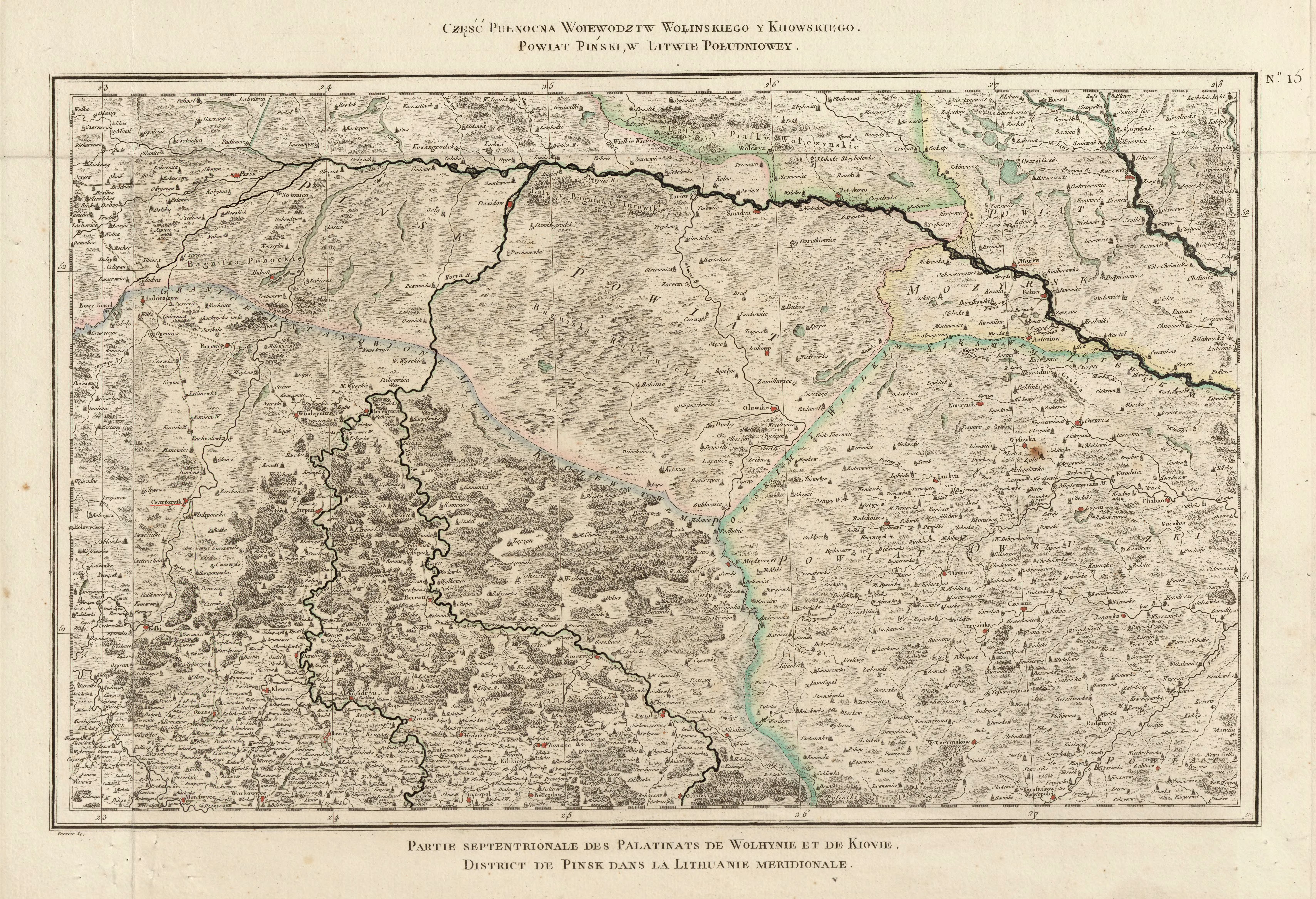
- ↑ Rizzi Zannoni, Część Pułnocna Woiewodztw Wołińskiego y Kiiowskiego. Powiat Piński, w Litwie Południowey .; 1772. (JPG; 7.4 MB) In: maps.mapywig.org. Retrieved February 11, 2020 .