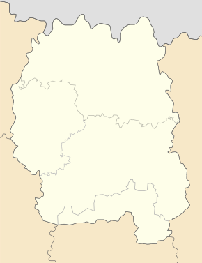
Kosiyivka (Korostyshiv)
| Kosiyivka | ||
| Козіївка (Коростишівський район) | ||

|
|
|
| Basic data | ||
|---|---|---|
| Oblast : | Zhytomyr Oblast | |
| Rajon : | Korostyshiv Raion | |
| Height : | 178 m | |
| Area : | 2.579 km² | |
| Residents : | 523 (2001) | |
| Population density : | 203 inhabitants per km² | |
| Postcodes : | 12522 | |
| Area code : | +380 4130 | |
| Geographic location : | 50 ° 22 ' N , 29 ° 7' E | |
| KOATUU : | 1822583301 | |
| Administrative structure : | 1 village | |
| Address: | вул. 50 років Жовтня буд. 4 12522 с. Козіївка |
|
| Website : | City council website | |
| Statistical information | ||
|
|
||
Kosijiwka ( Ukrainian Козіївка ; Russian Козиевка Kosijewka ) is a village in the east of the Ukrainian Oblast Zhytomyr with about 500 inhabitants (2001).
The village, first mentioned in writing in 1646, was until June 2019 the only place in the 30.867 km² district council of the same name in Korostyshiv district and has since been part of the Starossilzi rural community .
The village is located at an altitude of 178 m on the bank of the Teteriv , 12 km southeast of the Starossilzi community center ( Старосільці ), 8 km northeast of the Korostyshiv district center and km to the east of the Zhytomyr oblast center . The M 06 / E 40 road runs southwest of the village, 5 km away .
Web links
Commons : Kosijiwka - collection of pictures, videos and audio files
Individual evidence
- ↑ a b local website on the official website of the Verkhovna Rada ; accessed on November 8, 2019 (Ukrainian)
- ↑ history Kosijiwka in the history of the towns and villages of the Ukrainian SSR ; accessed on November 8, 2019 (Ukrainian)
- ^ Website of the district council on the official website of the Verkhovna Rada; accessed on November 8, 2019 (Ukrainian)


