Krebsbach (Elsava)
| Krebsbach | ||
|
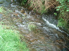
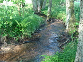
The Krebsbach at Mespelbrunn Castle |
||
| Data | ||
| location |
Spessart
|
|
| River system | Rhine | |
| Drain over | Elsava → Main → Rhine → North Sea | |
| source | at Mespelbrunn Castle 49 ° 54 ′ 17 ″ N , 9 ° 18 ′ 38 ″ E |
|
| Source height | 280 m above sea level NHN | |
| muzzle | in Mespelbrunn in Elsava Coordinates: 49 ° 54 ′ 17 " N , 9 ° 17 ′ 48" E 49 ° 54 ′ 17 " N , 9 ° 17 ′ 48" E |
|
| Mouth height | 249 m above sea level NHN | |
| Height difference | 31 m | |
| Bottom slope | 31 ‰ | |
| length | 1 km | |
| Catchment area | 4.7 km² | |
The Krebsbach is a left tributary of the Elsava in the district of Aschaffenburg in the Bavarian Spessart .
geography
course
The Krebsbach rises in Espelborn about 300 m east of Mespelbrunn Castle at the foot of the Eselshöhe ridge . The spring gave the moated castle and later the place its name. The Krebsbach flows in a westerly direction and feeds several ponds at the castle. In Mespelbrunn it crosses under the state road 2308 and flows into the Elsava from the left.
Elsava river system
See also
Web links
Commons : Krebsbach (Elsava) - Collection of images, videos and audio files
Individual evidence
- ↑ a b c d BayernAtlas of the Bavarian State Government ( notes )
- ^ Wolf-Armin von Reitzenstein : Lexicon of Franconian place names. Origin and meaning . Upper Franconia, Middle Franconia, Lower Franconia. CH Beck, Munich 2009, ISBN 978-3-406-59131-0 , p. 147 ( limited preview in Google Book search).

The Krebsbach (pipe at the back on the right) flows into the Elsava
