Lac Matapédia
| Lac Matapédia | ||
|---|---|---|

|
||
| Geographical location | Bas-Saint-Laurent in Quebec (Canada) | |
| Tributaries | Rivière Sayabec , Rivière Saint-Pierre | |
| Drain | Rivière Matapédia | |
| Islands | La Grande Île, Île Matane, Île à Brûlé | |
| Places on the shore | Sayabec , Val-Brillant , Lac-Matapédia | |
| Location close to the shore | Amqui | |
| Data | ||
| Coordinates | 48 ° 34 ′ N , 67 ° 35 ′ W | |
|
|
||
| Altitude above sea level | 160 m | |
| surface | 38 km² | |
| length | 19 km | |
| width | 3 km | |
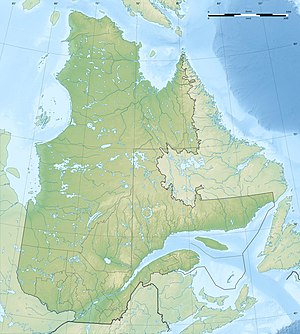
The Lake Matapedia is a lake in the administrative region of Bas-Saint-Laurent in the Canadian province of Quebec .
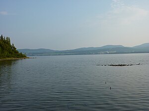
Lac Matapédia is located in the MRC La Matapédia 30 km south of Matane in the extreme southwest of the Gaspé Peninsula . The 38 km² lake extends 19 km in an east-west direction and has a maximum width of 3 km. It is drained by the Rivière Matapédia at its eastern end. The towns of Sayabec and Val-Brillant are on the shore . The small town of Amqui lies 5 km downstream on the Rivière Matapédia . The route 132 runs along the south shore. The Forêt refuge du Lac-Matapédia stretches across the northern lakeshore , a protected forest area, a refuge for the now rare occidental tree of life and an endangered species of orchid.
Web links
Commons : Lac Matapédia - collection of images, videos and audio files
