Mareeba
In Mareeba the sun shines 300 days a year
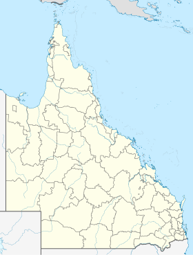
Mareeba is a city in the Atherton Tablelands , northern Queensland , Australia and is the seat of the Tablelands Regional Council . It is located on the Kennedy Highway about 60 kilometers west of Cairns and is therefore also the starting point for trips into the outback towards Chillagoe .
The Mulligan Highway to Cooktown begins in Mareeba .
The name of the place, founded in 1877, comes from an Aboriginal word that means "confluence of the waters" and refers to the Barron and Granite Rivers .
Mareeba is at the heart of the Australian tropical fruit and coffee industry . This is where many of the macadamias , cashews , lychees , pineapples, and mangoes come from .
Individual evidence
↑ Australian Bureau of Statistics : Mareeba English ) In: 2016 Census QuickStats . June 27, 2017. Retrieved April 14, 2020.
<img src="https://de.wikipedia.org//de.wikipedia.org/wiki/Special:CentralAutoLogin/start?type=1x1" alt="" title="" width="1" height="1" style="border: none; position: absolute;">

