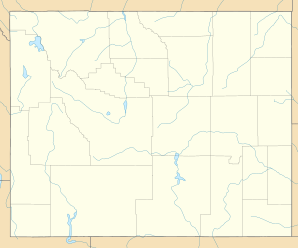
Medicine Bow, Wyoming
| Medicine Bow | ||
|---|---|---|
 Virginian Hotel, April 2014 |
||
| Location in Wyoming | ||
|
|
||
| Basic data | ||
| State : | United States | |
| State : | Wyoming | |
| County : | Carbon County | |
| Coordinates : | 41 ° 54 ′ N , 106 ° 12 ′ W | |
| Time zone : | Mountain ( UTC − 7 / −6 ) | |
| Residents : | 270 (as of 2015) | |
| Population density : | 30.1 inhabitants per km 2 | |
| Area : | 8.96 km 2 (about 3 mi 2 ) of which 8.96 km 2 (about 3 mi 2 ) is land |
|
| Height : | 2001 m | |
| Postal code : | 82329 | |
| FIPS : | 56-51575 | |
| GNIS ID : | 1591446 | |
| Mayor : | Kevin Colman | |
 The bridge in Medicine Bow |
||
Medicine Bow is a small town in Carbon County in the US state of Wyoming with 270 residents .
Geographical location
Located in Carbon County on Highway 287, Medicine Bow is about 109 miles northwest of Wyoming's capital, Cheyenne .
population
| Population development | |||
|---|---|---|---|
| Census | Residents | ± in% | |
| 1910 | 127 | - | |
| 1920 | 210 | 65.4% | |
| 1930 | 264 | 25.7% | |
| 1940 | 338 | 28% | |
| 1950 | 328 | -3% | |
| 1960 | 392 | 19.5% | |
| 1970 | 455 | 16.1% | |
| 1980 | 953 | 109.5% | |
| 1990 | 389 | -59.2% | |
| 2000 | 274 | -29.6% | |
| 2010 | 284 | 3.6% | |
Medicine Bow's population increased until 1980, when it peaked at 953, when the population dropped dramatically to the current 270.
Web links
Commons : Medicine Bow (Wyoming) - Collection of pictures, videos, and audio files
