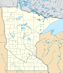
Moland, Minnesota
| Moland | ||
|---|---|---|
|
Location in Minnesota
|
||
| Basic data | ||
| State : | United States | |
| State : | Minnesota | |
| Counties : |
Steele County Rice County |
|
| Coordinates : | 44 ° 12 ′ N , 93 ° 4 ′ W | |
| Time zone : | Central ( UTC − 6 / −5 ) | |
| Height : | 384 m | |
| Area code : | +1 507 | |
| FIPS : | 27-43594 | |
| GNIS ID : | 654835 | |
Moland is a settlement on unincorporated community (" Unincorporated Community ") in Steele and Rice Counties in the US state of Minnesota .
geography
Moland is located in southern Minnesota, 109 km south of Minneapolis . The geographical coordinates of Moland are 44 ° 11'48 "north latitude and 93 ° 03'42" west longitude. The place is mainly in the Merton Township in Steele County, but also extends into the Richland Township in Rice County.
Neighboring towns to Moland are Kenyon (8.4 miles northeast), West Concord (12 miles east-southeast), Owatonna (15 miles southwest), Medford (11 miles west) and Faribault ( 17 miles northwest).
traffic
Moland's main street is 270th Street, a secondary highway that also forms the border between Steele Counties and Rice Counties.
The nearest major airport is Minneapolis-Saint Paul International Airport (103 km north).
Individual evidence
- ↑ Distance information according to Google Maps. Accessed June 24, 2013
