Moosbach (Mangfall)
| Moosbach | ||
|
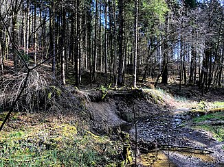
Moosbach near Standkirchen |
||
| Data | ||
| Water code | DE : 18232 | |
| location | Miesbach district | |
| River system | Danube | |
| Drain over | Mangfall → Inn → Danube → Black Sea | |
| origin |
Seehamer See 47 ° 51 ′ 14 ″ N , 11 ° 50 ′ 28 ″ E |
|
| Source height | 653 m above sea level NN | |
| muzzle | at Valley in the Mangfall coordinates: 47 ° 53 '22 " N , 11 ° 47' 13" E 47 ° 53 '22 " N , 11 ° 47' 13" E
|
|
| length | 7.3 km | |
| Catchment area | 8.08 km² | |
| Communities | Weyarn | |
The Moosbach is a brook in Upper Bavaria that flows into the Mangfall . It is the natural outflow of the Seehamer See .
course
The Moosbach has its origin at the western end of the lake north of Kleinseeham since the damming of the Seehamer See between the years 1911 to 1913. The brook runs along the edge of a high moor to Bruck, then on over grassland north of Wattersdorf to the federal motorway 8 . After crossing these, the Moosbach continues northwards until it flows north of Fentbach into the Leitzach valley. The Moosbach flows south of Valley as a right tributary into the Mangfall. The Celtic Fentbach ski jump is located in the estuary . The stream is 7.31 kilometers long and has a catchment area of 8.08 km².
