Mount Wachusett
| Mount Wachusett | ||
|---|---|---|
|
Mount Wachusett in winter, northeast side |
||
| height | 611 m | |
| location | Massachusetts , USA | |
| Mountains | Appalachian Mountains | |
| Dominance | 37.57 km → Temple Mountain | |
| Notch height | 284 m | |
| Coordinates | 42 ° 29 ′ 20 ″ N , 71 ° 53 ′ 15 ″ W | |
|
|
||
| Type | Inselberg | |
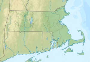
Mount Wachusett (also Wachusett Mountain ) is a 611 m high mountain in central Massachusetts in Worcester County . It is the highest point in Massachusetts east of the Connecticut River . Due to its isolated location, it is called a monadnock .
A mountain road leads to the summit, which is open between spring and autumn. There is a hotel on the summit, which was built in 1874 together with Bergstrasse and is now showing its age. A number of hiking trails lead to the top. From the top you can see the skyline of Boston on the horizon. The summit is a popular observation point for amateur ornithologists .
Web links
Commons : Mount Wachusett - collection of images, videos and audio files
- Mount Wachusett on Peakbagger.com (English)
- Wachusett Mountain State Reservation
- The view from Mount Wachusett
- Princeton history of the Mountain
- People of the Wachusett: Greater New England in History and Memory, 1630-1860
Individual evidence
- ↑ Mount Wachusett on Peakbagger.com (English)

