Narodnaya
| Narodnaya | ||
|---|---|---|
| height | 1895 m | |
| location | Khanty and Mansi Autonomous Okrug / Ugra ( Russia ) | |
| Mountains | Subpolarural | |
| Notch height | 1772 m | |
| Coordinates | 65 ° 2 '10 " N , 60 ° 6' 45" O | |
|
|
||
| First ascent | AN Alezhkov, 1927 | |
| particularities | highest peak in the Urals | |
The Narodnaja ( Russian Народная ; also (gora) Naroda, (гора) Народа ) is the highest mountain in the Urals at 1895 m .
According to geographical tradition, the inner Eurasian border is drawn along the Urals, the Caspian Sea , through the Kuma-Manych lowland , the Black Sea and the Bosporus . Accordingly, the Narodnaja, the highest point in the European part of Russia, lies exactly on the defined border between Europe and Asia.
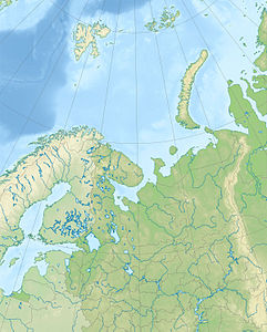
The mountain is located in the sub-polar Urals (Russian Приполярный Урал) in the northwest of the Khanty and Mansi Autonomous Okrug , only about 500 meters east of the border with the Komi Republic .
The mountain is formed by Proterozoic and Cambrian quartzites and metamorphic schists . The area around the Narodnaya is slightly glaciated . In the lower elevations, the mountain is covered by sparse larch and birch taiga , in the higher areas by mountain tundra .
The Narodnaya was discovered, named and recognized as the highest mountain in the Urals by an expedition led by the geologist AN Aleschkow in 1927.
literature
- NP Archipowa, JW Yastrebow: Kak byli otkryty Uralskije gory . (German: How the Ural Mountains were discovered). Sredne-Uralskoje Knischnoje Izdatelstwo, Sverdlovsk 1990, ISBN 5-7529-0308-4 (Russian).
Web links
- Information about the mountain in Russian. (География magazine 06/2006). Retrieved March 18, 2019 .
Individual evidence
- ↑ Article Narodnaja in the Great Soviet Encyclopedia (BSE) , 3rd edition 1969–1978 (Russian)

