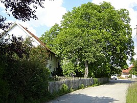
Neuried (Alling)
|
Neuried
Alling parish
Coordinates: 48 ° 8 ′ 40 ″ N , 11 ° 14 ′ 46 ″ E
|
|
|---|---|
| Height : | 585 m above sea level NHN |
| Residents : | 15 (May 25 1987) |
| Postal code : | 82239 |
| Area code : | 08141 |
|
Neuried
|
|
Neuried , formerly Ziegelstadel , is part of the Alling municipality in the Fürstenfeldbruck district in Upper Bavaria .
The hamlet is located about four kilometers west of Alling in the Holzhausen district and was part of the Holzhausen community, which was incorporated on May 1, 1978.
In the most recent census on May 25, 1987, 15 residents lived there in the eight apartments of the six buildings with living space.
Web links
Commons : Neuried - collection of images, videos and audio files
- Neuried in the location database of the Bavarian State Library Online . Bavarian State Library
Individual evidence
- ↑ Original position sheet in the BayernAtlas
- ↑ Bavarian State Office for Statistics and Data Processing (Ed.): Official local directory for Bavaria, territorial status: May 25, 1987 . Issue 450 of the articles on Bavaria's statistics. Munich November 1991, DNB 94240937X , p. 96 ( digitized version ).

