Beiljoch
| Beiljoch | |||
|---|---|---|---|
|
Großer Trögler , Beilspitze and Beiljoch from the west |
|||
| Compass direction | west | east | |
| Pass height | 2672 m above sea level A. | ||
| state | Tyrol | ||
| Valley locations | Dresden hut | Sulzenauhütte | |
| expansion | Alpine route (alpine transition) | ||
| Mountains | Stubai Alps | ||
| Map (Tyrol) | |||
|
|
|||
| Coordinates | 46 ° 59 '32 " N , 11 ° 9' 16" E | ||
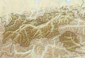
The Beiljoch (also Peiljoch ) is a 2672 m above sea level. A. high transition in the Stubai Alps in Tyrol from the Dresdner Hut to the Sulzenau Hut . It lies between the 2820 m high Beilspitze in the northeast and the Aperen Pfaffengrat, which descends from the Aperen Pfaff (3351 m) in the southwest.
The path over the Beiljoch, secured with wire ropes, was built in 1910 by the Lübeck section of the German Alpine Club and is part of the "Lübecker Weg" from the Dresdner Hütte to the Wilder Freiger and the Stubai Höhenweg (hut tour). An only slightly longer but worthwhile variant leads over the Großer Trögler , which is crossed on the way between the huts mentioned.
Individual evidence
- ^ Heinrich and Walter Klier: Alpine Club Guide Stubai Alps . Rother Bergverlag, Munich 1980, ISBN 3-7633-1212-9 , p. 133-134 .
- However, this designation is by far the more common and is also used on site (signposts) and in tour descriptions.

