Philbin Inlet
| Philbin Inlet | ||
|---|---|---|
| Waters | Amundsen Sea , Southern Ocean | |
| Land mass | Walgreen Coast , Marie Byrd Land , West Antarctica | |
| Geographical location | 74 ° 4 ′ S , 114 ° 11 ′ W | |
|
|
||
| length | 24 km | |
|
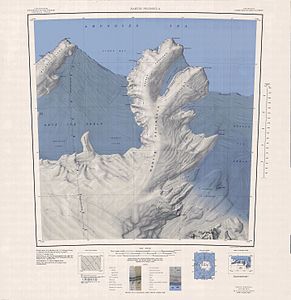
Topographic map of the Martin Peninsula with the Philbin Inlet (above) |
||
The Philbin Inlet is a narrow, icy and 24 km long bay on the Walgreen Coast of the West Antarctic Marie Byrd lands . It is located at the northern end of the Martin Peninsula between the Murray Foreland and the Slichter Foreland .
The United States Geological Survey mapped the bay using aerial photographs from Operation Highjump (1946–1947). The Advisory Committee on Antarctic Names named them in 1967 after Brigadier General Tony Philbin of the United States Army , who had worked on the collaboration between the US Department of Defense and the United States Navy during the International Geophysical Year (1957-1958).
Web links
- Philbin Inlet in the Geographic Names Information System of the United States Geological Survey (English)
- Philbin Inlet on geographic.org (English)

