Plymouth (Connecticut)
| Plymouth | ||
|---|---|---|
|
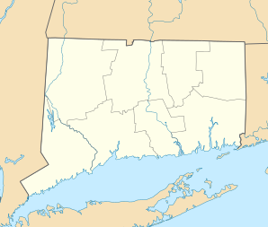
Location in Connecticut
|
||
| Basic data | ||
| Foundation : | 1795 | |
| State : | United States | |
| State : | Connecticut | |
| County : | Litchfield County | |
| Coordinates : | 41 ° 40 ′ N , 73 ° 2 ′ W | |
| Time zone : | Eastern ( UTC − 5 / −4 ) | |
| Residents : | 12,183 (as of 2005) | |
| Population density : | 216.4 inhabitants per km 2 | |
| Area : | 57.8 km 2 (approx. 22 mi 2 ) of which 56.3 km 2 (approx. 22 mi 2 ) is land |
|
| Height : | 266 m | |
| Postcodes : | 06782, 06786 | |
| Area code : | +1 860 | |
| FIPS : | 09-60750 | |
| GNIS ID : | 0213489 | |
| Website : | www.plymouthct.us | |
| Mayor : | Vincent Festa, Jr. | |
Plymouth is a city in Litchfield County in the US state of Connecticut , United States , with 12,183 inhabitants (as of 2005). Terryville and Pequabuck are villages from Plymouth. Part of the Mattatuck State Forest is in Plymouth.
sons and daughters of the town
- Judson Allen (1797–1880) - US Congressman from New York State
- Eli Terry Sr. (1772-1852) - American watchmaker
Web links
Commons : Plymouth, Connecticut - collection of pictures, videos, and audio files
