
Ponta Séri Tútun
| Ponta Séri Tútun | ||
| Geographical location | ||
|
||
| Coordinates | 8 ° 31 ′ S , 125 ° 40 ′ E | |
| coast | North Timor Coast | |
| Waters | Wetar Strait | |
 The region around the bay of Hera |
||

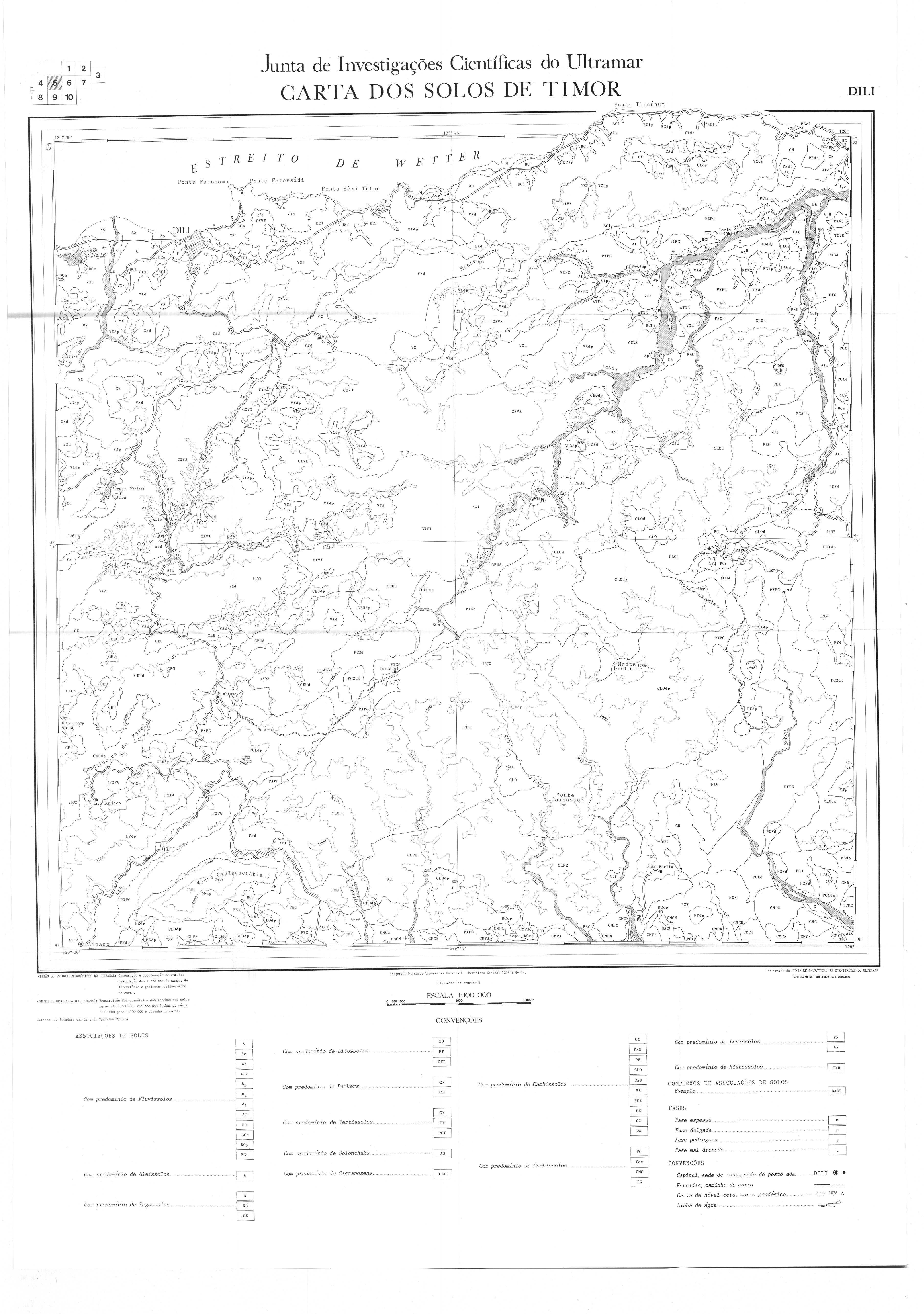
The Cape Seri TUTUN ( tetum Ponta Seri TUTUN , Portuguese Ponta Seri TUTUN ) is a cape east of the East Timorese capital Dili . It is located to the east of the Cristo Rei administrative office and forms the northeastern tip of the Sucos Hera , on the coast of the Strait of Wetar . South of the cape, the land rises rapidly and reaches a height of 209 m with the Foho Saratotu . To the east lies the bay of Hera , where the main naval base of the country is located. To the west is the Ponta Fatomano .
The Ponta Séri Tútun is part of the Important Bird Area and the Areia Branca Game Reserve .
Individual evidence
- ↑ Seeds of Life: Map of the Dili Parish , accessed January 24, 2016.
- ↑ Geoview: Foho Saratotu , accessed January 24, 2016.
- ^ Timor-Leste GIS-Portal ( Memento from June 30, 2007 in the Internet Archive )
- ↑ Birdlife International: Areia Branca no Dolok Oan , accessed January 28, 2016.