
Hera (Cristo Rei)
| Hera | |||

|
|||

|
|||
| Data | |||
| surface | 53.10 km² | ||
| population | 8,853 (2015) | ||
| Chefe de Suco | Simão Pedro Ribeiro (election 2009) |
||
| Aldeias | Population (2015) | ||
| Acanuno | 2,562 | ||
| Ailoc laran | 1,691 | ||
| Halidolar | 2,054 | ||
| Moris Foun | 470 | ||
| Mota Quic | 1,659 | ||
| Sucaer laran | 417 | ||
|
|||

The East Timorese town and Suco Hera is located in the Cristo Rei administrative office of the municipality of Dili .
Place name
The place name Hera comes from the Mambai , which was traditionally spoken in the region before the Tetum was established here. "Hera" means "crevice".
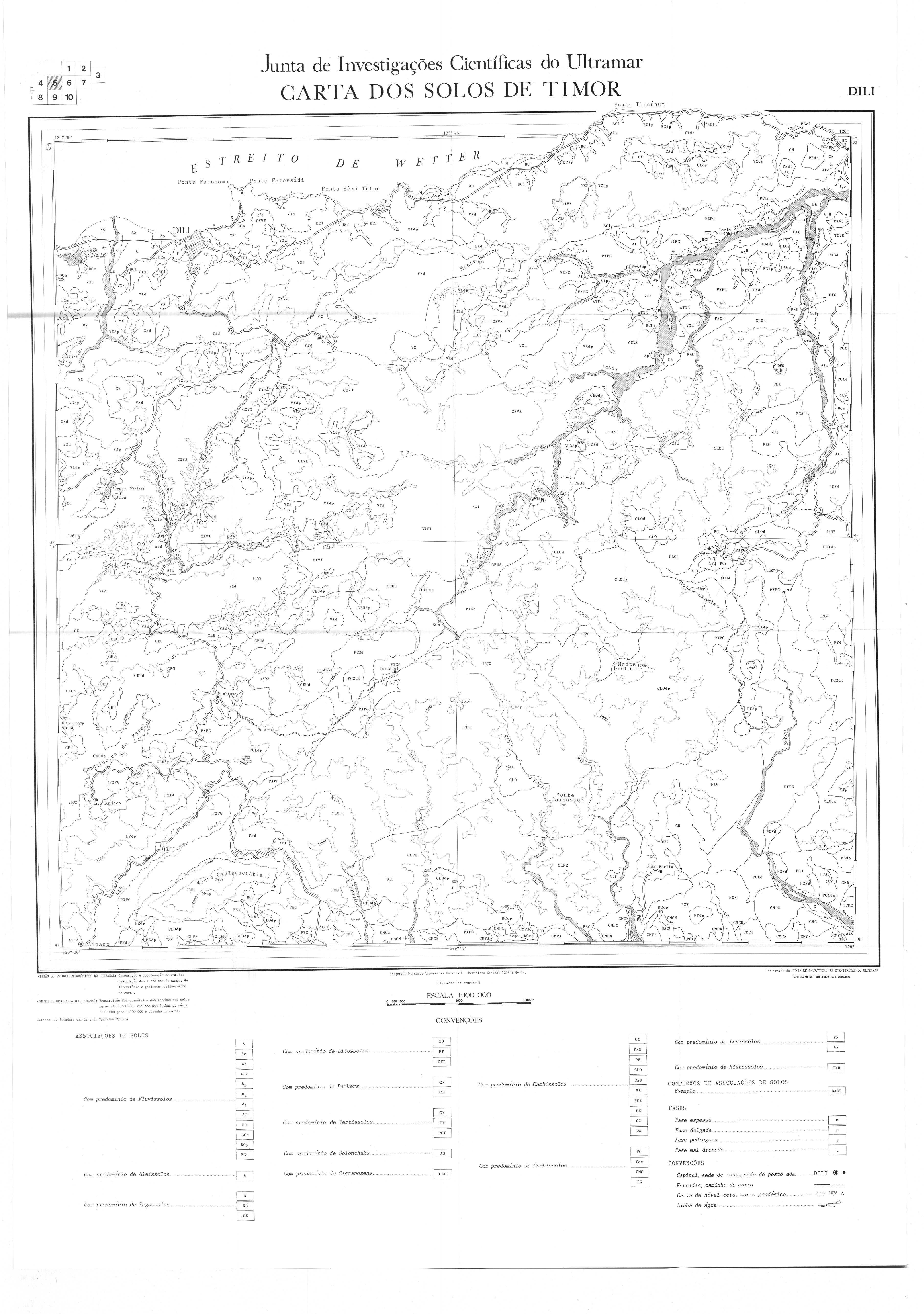
The place

Hera is 16 km east of the state capital Dili , in the east of Sucos, at an altitude of 29 m . Metinaro is 10 km east of the coast road (4 km as the crow flies).
The port was expanded from 2000 to 2003 so that larger fishing boats can also moor and supply the residents with fish.
The boats of the East Timorese Navy are stationed in Hera . A clinic also belongs to the naval base . There is also a school to prepare for secondary school and a police station in town . The Roman Catholic Church of São Tiago de Hera is dedicated to James the Elder .
The Suco
| Hera | ||
| places | position | height |
| Acanuno | 8 ° 33 ′ S , 125 ° 39 ′ E | 179 m |
| Ailelehun | 8 ° 33 ′ S , 125 ° 37 ′ E | 302 m |
| Ailoc laran | 8 ° 33 ′ S , 125 ° 41 ′ E | 139 m |
| Airiti | 8 ° 33 ′ S , 125 ° 39 ′ E | 220 m |
| Bemanotolu | 8 ° 32 ' S , 125 ° 41' E | 0 m |
| Beraka | 8 ° 32 ' S , 125 ° 41' E | 92 m |
| Berukulun | 8 ° 33 ′ S , 125 ° 40 ′ E | 133 m |
| Besidada | 8 ° 33 ′ S , 125 ° 40 ′ E | 52 m |
| Bidik | 8 ° 33 ′ S , 125 ° 40 ′ E | 52 m |
| Caremon | 8 ° 34 ′ S , 125 ° 40 ′ E | 389 m |
| Hera | 8 ° 32 ' S , 125 ° 41' E | 29 m |
| Jembatankik | 8 ° 33 ′ S , 125 ° 40 ′ E | 23 m |
| Lepos | 8 ° 33 ′ S , 125 ° 41 ′ E | 29 m |
| Liqirahu | 8 ° 33 ′ S , 125 ° 39 ′ E | 65 m |
| Lolesu | 8 ° 33 ′ S , 125 ° 39 ′ E | 169 m |
| Manoroni | 8 ° 32 ' S , 125 ° 41' E | 29 m |
| Mantarlido | 8 ° 32 ′ S , 125 ° 40 ′ E | 0 m |
| Montensaun | 8 ° 33 ′ S , 125 ° 40 ′ E | 147 m |
| Mota Quic | 8 ° 33 ′ S , 125 ° 40 ′ E | 139 m |
| Pasir Putih | 8 ° 31 ' S , 125 ° 43' E | 4 m |
| Raimia | 8 ° 34 ′ S , 125 ° 39 ′ E | 233 m |
| Sidara | 8 ° 34 ′ S , 125 ° 40 ′ E | ? |
The Suco has 8,853 inhabitants (2015), of which 4,610 are men and 4,243 women. The population density is 166.7 inhabitants / km². There are 1,339 households in the Suco. Most of the residents are Kaladi , Timorese of western East Timor. Unlike most of the administrative office's other sucos, Hera is not defined as urban. The dialect Tetum Prasa , which is the official language of East Timor, is spoken on the coast . Almost 72% of the population name Tetum Prasa as their mother tongue. 6.5% speak Lolein . They live in Hera and Becora Leten , a subdialect of Isní . It was introduced there by immigrants from Turiscai in the 19th century. Over 12% speak Mambai , almost 8% Makasae and minorities speak Tetum Terik or Nanaek .
Before the 2015 regional reform, Hera had an area of 41.24 km². Now there are 53.10 km². The Suco forms the east of the Cristo Rei administrative office. To the west are the Sucos Meti Aut , Camea and Becora , which also belong to Cristo Rei . In the east is the Metinaro administrative office with its Suco Sabuli . In the south, Hera borders on the Sucos Talitu ( Laulara administrative office ) and Acumau ( Remexio administrative office ) belonging to the municipality of Aileu . In the rainy season, the river Hahic flows into the Strait of Wetar to the west of Hera, and the Quik ( Mota Quic ) flows a little further west . On the coast, the westernmost point of Hera is Cape Fatu Cama . Just to the east is the Ponta Fatossídi , followed by the Dolok Oan beach , the Ponta Fatomano , the Ponta Séri Tútun and finally the Bay of Hera .
In the east of Sucos, around the town of Hera, are the towns of Lepos , Ailoc Laran ( Ailoklaran , Ailok Laran ), Beraka Berukulun , Besidada , Bemanotolu , Manoroni and Mantarlido . In the center of sucos are the places Jembatankik , Bidik , Liqirahu , Mota Quic ( Motaquic , Motaquia , Motakik ), Caremon , Sidara , Acanuno ( Acanunu , Akanunu ), Montensaun , Airiti and Lolesu . There are two primary schools and one secondary school. In the southwest is the place Raimia . Ailelehun ( Ailelehu ) is located on the border with Meti Aut . In the east, Pasir Putih from Sabuli came to Hera through territorial reform in 2015 .
In Suco there are the six Aldeias Acanuno ( Akanunu , 281 inhabitants, estimate from January 2000), Ailoc Laran ( Allok Laran , 762), Hali Dolar ( Halidolar , 778), Moris Foun , Mota Quic (887) and Sucaer Laran ( Sakaer Laran , 705).

Hera in November (end of the dry season)

Hera in April (end of the rainy season)

Mangroves west of the Pontas Fatomano

Entrance to the naval base


.jpg)
history


Hera was one of the traditional kingdoms of Timor, ruled by a liurai . It appears on a list by Afonso de Castro , a former governor of Portuguese Timor who listed 47 empires in 1868. In 1867 Hera provided the Portuguese with arms aid against the rebellious empire of Vemasse ( see The Rebellion in Vemasse, Lermean and Sanirin ). In January 1894, the Liurai of Hera signed a written contract on his vassal status to Portugal.
Before the referendum of 1999 and the unrest that came with it, 6069 lived in Suco Hera. Much of the population fled to the mountains during the riots when pro-Indonesian militia attacked residents from July 1999. Most people had left their homes by August. The market and port were closed on August 6th. 30 percent of Hera was destroyed, many residents were killed. After the intervention of INTERFET , people returned to the places. In January 2000, only 3413 people lived in Hera. In February 2000 there were already 3,734. In 2006 the population was around 6,800.
During the unrest of 2006 , most of Hera's residents were again on the run from the end of April. On May 21, there were isolated shootings in the hills around Hera. While the Kaladi fled to the mountains, the Firaku minority (Timorese originally from the east of the country) went to the fenced-in naval base together with Firaku, who had fled Dili, to safety.
The town of Hera and the military base were severely damaged by heavy rainfall from January 10th to 12th, 2010 and the resulting flooding. Another flooding in 2020 destroyed the Escola do Ensino Básico Akanunu .
politics
In the 2004/2005 elections , Simão Pedro Ribeiro was elected Chefe de Suco and confirmed in his post on October 9, 2009 .
economy
.jpg)
.jpg)
In addition to fish caught in the sea, the population feeds on their agricultural products: chickens, eggs, goats, pigs, cattle, buffalo, milk, coconuts, eggplants, jackfruit, cassava, snake beans, breadfruit, pineapples, mangoes, and bananas Vegetables.
During the wave of violence in 1999 , a small ice cream factory, a television studio and a shipyard for fishing boats were destroyed. For a long time only the base of the East Timorese Navy offered some jobs.
On November 29, 2011, the Hera power plant with seven generators and a total output of 119 MW went into operation, which supplies the communities of Dili and Liquiçá with electricity. The power plant has been operated by the Finnish company Wärtsilä since 2012 . Heineken opened a brewery and bottling station for lemonades in Hera in 2018.
Web links
- Results of the 2010 census for the Suco Hera ( tetum ; PDF; 8.1 MB)
- Results of the 2015 census for the Suco Hera (tetum; PDF)
- Seeds of Life: Suco information sheets Cristo Rei (tetum)
- Report on the refugees in Hera in 2006
Individual evidence
- ↑ a b c d Direcção-Geral de Estatística : Results of the 2015 census , accessed on November 23, 2016.
- ↑ Geoffrey Hull : The placenames of East Timor , in: Placenames Australia (ANPS): Newsletter of the Australian National Placenames Survey, June 2006, pp. 6 & 7, ( Memento of the original from February 14, 2017 in the Internet Archive ) Info: The archive link was inserted automatically and has not yet been checked. Please check the original and archive link according to the instructions and then remove this notice. accessed on September 28, 2014.
- ↑ a b UNMIT: Timor-Leste District Atlas version 02, August 2008 ( Memento of the original dated December 3, 2011 in the Internet Archive ) Info: The archive link was inserted automatically and has not yet been checked. Please check the original and archive link according to the instructions and then remove this notice. (PDF; 448 kB)
- ↑ Fallingrain.com: Directory of Cities, Towns, and Regions in East Timor
- ↑ Results of the 2010 census for the Suco Hera ( tetum ; PDF; 8.1 MB)
- ↑ Direcção Nacional de Estatística: Population Distribution by Administrative Areas Volume 2 English ( Memento of the original from January 5, 2017 in the Internet Archive ) Info: The archive link has been inserted automatically and has not yet been checked. Please check the original and archive link according to the instructions and then remove this notice. (2010 census; PDF; 22.6 MB)
- ↑ Seeds of Life: Map of the Dili Parish , accessed October 11, 2015.
- ^ Timor-Leste GIS-Portal ( Memento from June 30, 2007 in the Internet Archive )
- ↑ Jornal da Républica with the Diploma Ministerial n. 199/09 ( Memento of February 3, 2010 in the Internet Archive ) (Portuguese; PDF; 323 kB)
- ↑ TIMOR LORO SAE, Um pouco de história ( Memento of the original dated November 13, 2001 in the Internet Archive ) Info: The archive link was inserted automatically and has not yet been checked. Please check the original and archive link according to the instructions and then remove this notice.
- ↑ East Timor - PORTUGUESE DEPENDENCY OF EAST TIMOR ( Memento of February 21, 2004 in the Internet Archive )
- ↑ History of Timor - Technical University of Lisbon ( Memento of the original from March 24, 2009 in the Internet Archive ) Info: The archive link was automatically inserted and has not yet been checked. Please check the original and archive link according to the instructions and then remove this notice. (PDF; 824 kB)
- ^ Timor News Network, January 12, 2010
- ↑ LUSA: Cheias em Díli causaram danos graves em três escolas - ministra , March 16, 2020 , accessed on March 16, 2020.
- ↑ Secretariado Técnico de Administração Eleitoral STAE: Eleições para Liderança Comunitária 2004/2005 - Resultados ( Memento of August 4, 2010 in the Internet Archive )
- ↑ Secretariado Técnico de Administração Eleitoral STAE: Eleições para Liderança Comunitária 2009 - Resultados ( Memento of August 4, 2010 in the Internet Archive )
- ↑ Timor-Leste thermal power stations managed and maintained by Finnish group , October 12, 2017 , accessed January 15, 2018.
- ↑ Wärtsilä: Wärtsilä awarded Operations & Maintenance contract for power plant in Timor-Leste , July 10, 2012 , accessed on July 12, 2012
- ↑ Diário de Notícias: Fábrica da Heineken em Timor-Leste inaugurada, investimento de 31 milhões de euros , January 22, 2018 , accessed on January 23, 2018.
![]() Map with all coordinates: OSM | WikiMap
Map with all coordinates: OSM | WikiMap
The administrative borders within East Timor changed in 2015. This article must therefore be checked and updated if necessary. See New Administrative Boundaries .