Cape Fatu Cama
| Cape Fatu Cama | ||
 Ponta Fatu Cama |
||
| Geographical location | ||
|
|
||
| Coordinates | 8 ° 31 ′ S , 125 ° 36 ′ E | |
| coast | North Timor Coast | |
| Waters | Fatu Cama Bay | |
| Waters 2 | Bay of Dili | |
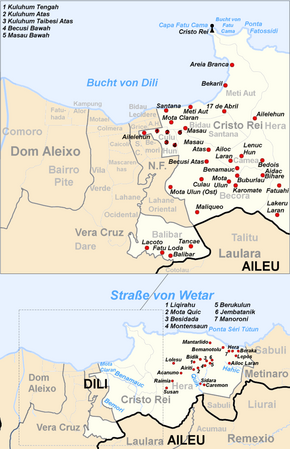
 Map of the Cristo Rei administrative office in Dili |
||
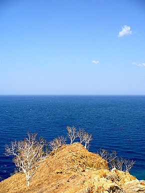
The Cape Fatu Cama ( tetum Capa Fatu Cama , Portuguese Cabo Fatucama ) is the cape at the eastern end of the Bay of Dili . It is located west of Dolok Oan Beach and Ponta Fatossídi and north of Areia Branca Beach in Suco Meti Aut, East Timor . On the Cape Fatu Cama is Cristo Rei , the monumental Jesus statue by Dili.
Cape Fatu Cama is part of the wildlife sanctuary and the Important Bird Area of Areia Branca. The existence of the local tropical dry forest of Eucalyptus alba savana is threatened by the collection of firewood. The native bird species include pink-headed fruit pigeon , Timorskin head , sun nectar bird and Timor rice finch .
The bay of Fatu Cama from the sea. On the left the Ponta Fatossídi, on the right the Cape Fatu Cama with the statue of Cristo Rei
Individual evidence
- ↑ Seeds of Life: Map of the Dili Parish , accessed October 11, 2015.
- ↑ BirdLife IBA Factsheet: Areia Branca beach and hinterland

