Quilpie
| Quilpie | |||||||
|---|---|---|---|---|---|---|---|
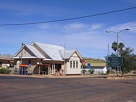
 Quilpie Post Office |
|||||||
|
|||||||
|
|||||||
|
|||||||
|
|||||||
|
|
|||||||
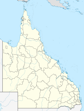
Quilpie is a small town with 566 inhabitants in the south of the Australian state of Queensland . It is located in the outback about 950 kilometers west of Brisbane and 350 kilometers south of Longreach on the Diamantina Developmental Road . It is the administrative seat of the administrative region (LGA) Quilpie Shire . It is believed that the word quilpie in the Aboriginal language denotes the bird triel .
The main industries in this region are livestock and mining , with one of the largest opal deposits in the world. But natural gas and oil are also extracted here.
history
The area on the banks of the Bulloo River was first settled by European farmers in the 1860s, but it wasn't until 1917, with the construction of the Charleville railway line , that the place was established and Quilpie became the westernmost bridgehead for the sheep and wool industry.
Soon afterwards a school (1918) and a hospital (1922) were built and the town with numerous shops became an economic center for the farmers.
climate
Quilpie has a semi-arid climate ( effective climate classification BSh) with hot summers and spring-like winters.
|
Average monthly temperatures and rainfall for QUILPIE AIRPORT - Altitude: 200 m from 1941 to 2011
Source:
|
|||||||||||||||||||||||||||||||||||||||||||||||||||||||||||||||||||||||||||||||||||||||||||||||||||||||||
Web links
Individual evidence
- ↑ a b Climate statistics for Australian locations (QUILPIE AIRPORT) ( English ) Australian Government - Bureau of Meteorologie . Retrieved June 6, 2009.
- ↑ a b Australian Bureau of Statistics : Quilpie (L) ( English ) In: 2016 Census QuickStats . June 27, 2017. Retrieved April 14, 2020.
- ↑ a b c Quilpie and Quilpie Shire , queenslandplaces.com.au. Retrieved November 20, 2011.
