
Sajama River
| Sajama River | ||
|
|
||
| Data | ||
| location | Bolivia | |
| River system | Río Lauca | |
| Drain over | Río Lauca → Salar de Coipasa | |
| source |
Municipio Curahuara de Carangas 18 ° 3 ′ 14 ″ S , 68 ° 56 ′ 38 ″ W |
|
| Source height | 4356 m | |
| muzzle |
Río Lauca Coordinates: 18 ° 31 ′ 34 ″ S , 68 ° 44 ′ 14 ″ W 18 ° 31 ′ 34 ″ S , 68 ° 44 ′ 14 ″ W. |
|
| Mouth height | 3829 m | |
| Height difference | 527 m | |
| Bottom slope | 6.1 ‰ | |
| length | 87 km | |
| Left tributaries | Río Fisirata, Río Tambo Quemado | |
| Communities | Sajama , Lagunas | |
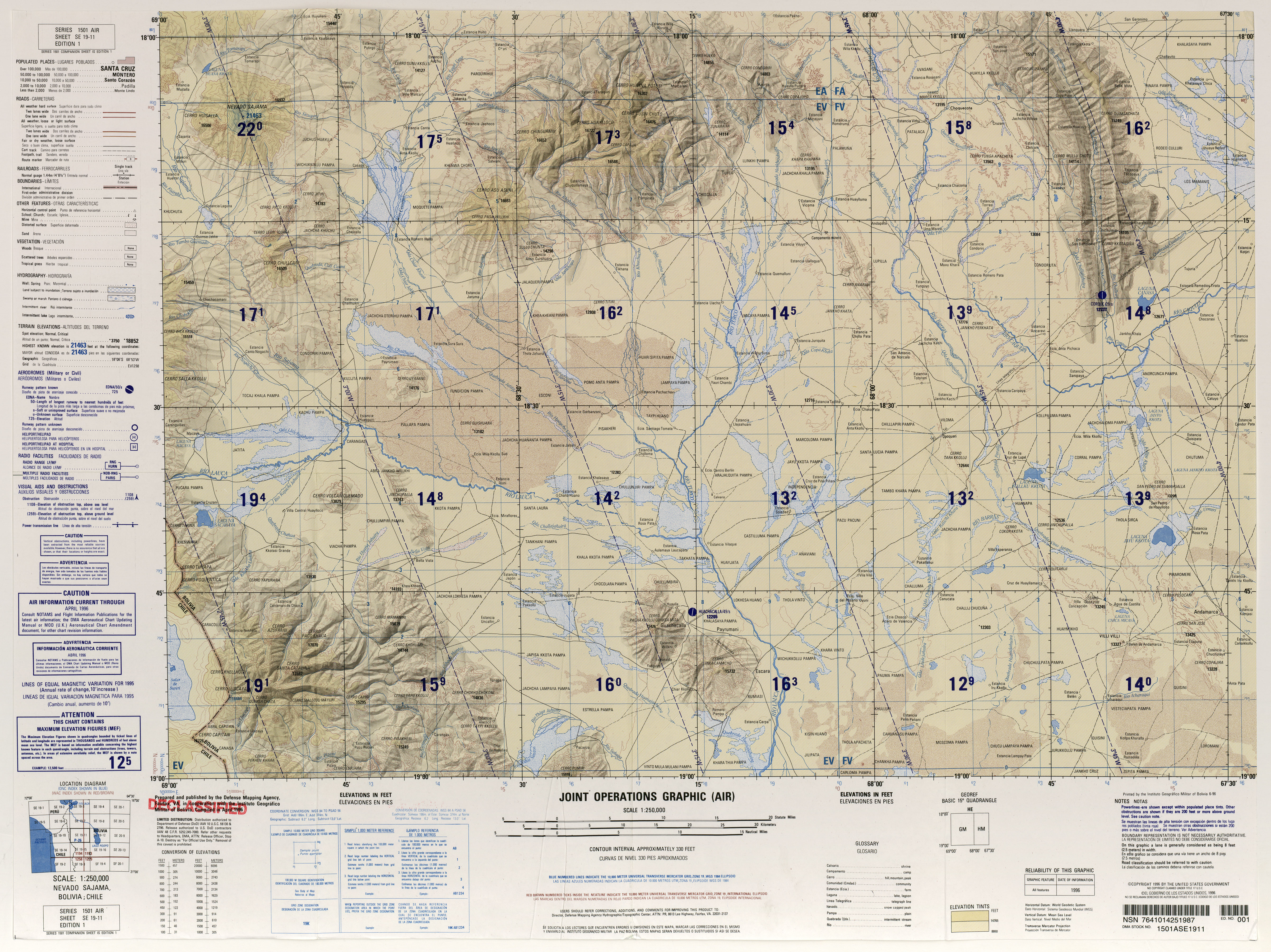
The Río Sajama is a river in the Sajama province in the Oruro department in the highlands of the South American Andean state of Bolivia.
The Río Sajama rises in the district ( Bolivian : Municipio ) Curahuara de Carangas about one kilometer southwest of Lake Waña Quta , from which it is only separated by a threshold a few meters high, and which not only feeds the Río Tamarapi in the northeast, but with his Leachate also the Río Sajama. The source of the Río Sajama is located on the western foothills of the Sajama volcanic cone , at 6542 m the highest mountain in Bolivia. The river flows for the first ten kilometers to the village of Sajama in a south-westerly direction, then for its entire remaining length in a south and south-east direction. Notable tributaries in its course are the Río Fisirata and the Río Tambo Quemado coming from the west . After a total of 87 kilometers of the Río Sajama flows south-west of the town of Lagunas in Turco Municipality in the Lauca River , which later in the endorheic salt lake Salar de Coipasa flows, the second largest salt lake in Bolivia. This is located on the Bolivian Altiplano at an average altitude of 3680 m.
Web links
- Raised relief map Nevado Sajama 1: 100,000 ( Spanish )
- Plan de Dessarollo Municipal de Turco, 2008-2012 ( Spanish )