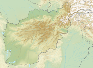
Sakar Sar
| Sakar Sar | ||
|---|---|---|
| height | 6272 m | |
| location |
Badachschan ( Afghanistan ), Gilgit-Baltistan ( Pakistan ) |
|
| Mountains | Hindu Kush | |
| Dominance | 9.13 km → P6610 | |
| Notch height | 1295 m ↓ Irshad Pass ( 4977 m ) | |
| Coordinates | 36 ° 53 '42 " N , 74 ° 14' 30" E | |
|
|
||
| First ascent | August 13, 1999 by a japan. expedition | |
The Sakar Sar is a mountain in the far east of the Hindu Kush .
location
The Sakar Sar is located on the border between the Pakistani special territory Gilgit-Baltistan in the south and the Wachan Corridor of Afghanistan in the north. The mountain reaches a height of 6272 m (on old maps a height of 6316 m is noted). The Sakar Sar is located 9 km east of the Irshad Pass on the watershed between Wachandarja in the north and Chapursan in the south. The dominant reference point is a 6610 m high mountain in the Karakoram , 2.26 km east of Koz Sar ( 6677 m ).
Ascent history
The first ascent of Sakar Sar was achieved in 1999 by a Japanese expedition over the southeast flank. The entire expedition team - Akira Miyazawa, Makoto Ishikawa, Kanji Kamei and Teruaki Suzuki as well as the two porters - reached the summit on August 13th.
Individual evidence
- ↑ a b Makoto Ishikawa: Asia, Pakistan, Hispar Muztagh, Sakar Sar, First Ascent . American Alpine Journal, 2000, vol. 42.
