
Sapadnaya Liza (river)
|
Sapadnaya Liza Западная Лица |
||
 |
||
| Data | ||
| Water code | RU : 02010000612101000000769 | |
| location | Murmansk Oblast ( Russia ) | |
| River system | Sapadnaya Liza | |
| source | on Mount Kuchintundra | |
| Source height | 578 m | |
| muzzle | in the fjord Guba Sapadnaja Liza Coordinates: 69 ° 25 ′ 37 " N , 32 ° 16 ′ 50" E 69 ° 25 ′ 37 " N , 32 ° 16 ′ 50" E |
|
| Mouth height | 0 m | |
| Height difference | 578 m | |
| Bottom slope | 5.7 ‰ | |
| length | 101 km | |
| Catchment area | 1690 km² | |
| Discharge at the level of mouth A Eo : 1190 km² Location: 1.3 km above the mouth |
MQ 1935/1964 Mq 1935/1964 |
21 m³ / s 17.6 l / (s km²) |
| Navigable | No | |
The Sapadnaja Liza ( Russian Западная Лица ; English Zapadnaya Litsa ) or "Western Liza" is a 101 km long river in the Murmansk Oblast in the far northwest of Russia , at the westernmost end of the Kola Peninsula .
geography
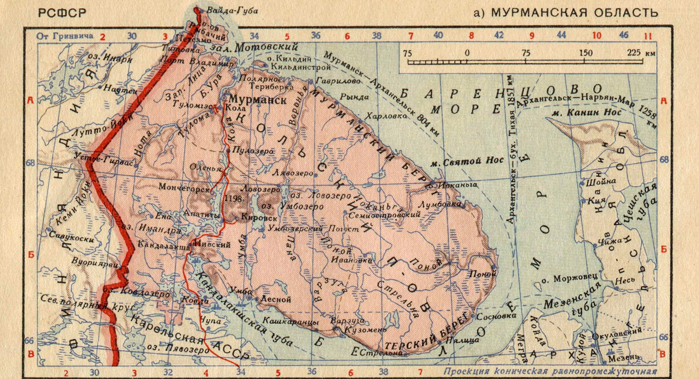
The river rises in the vicinity of the mountain Kuchintundra ( Кучинтундра , 578 m ), flows through several lakes and then in a northerly direction through the tundra . It finally flows into a fjord of the Barents Sea on the Murman coast , which is named after the river: Guba Sapadnaja Liza ( Russian губа Западная Лица ). There are several naval bases of the Northern Fleet in this fjord .
The neighboring Malaja Liza (Малая Лица) or "Little Liza" flows a few kilometers east into a branch of the fjord. The rivers run east of Pechenga and west of Murmansk , their mouth is opposite the fishing peninsula .
Disambiguation
The adjective "Western" ( Sapadnaja ) distinguishes the river from an "Eastern Liza" ( Vostochnaja Liza , Восточная Лица ), which also runs on the Kola Peninsula and flows into the Barents Sea, but far east of Murmansk.
history
During the Second World War from 1941 to 1944, the Sapadnaya and Malaya Liza were the first line of defense of the Soviet troops in front of the strategically important port city of Murmansk. The soldiers of the German Wehrmacht , who mainly belonged to the mountain hunter divisions , tried to break through here to Murmansk from Kirkenes as part of the Silberfuchs company . On September 7, 1941, the mountain troops succeeded in crossing the Liza and penetrating the enemy positions. On the night of September 23, 1941, the first snow fell on the Liza Front. The regiment had to be taken back behind the Liza. Thousands of soldiers died on both sides in this bitter fighting. The Red Army managed to prevent the breakthrough into Murmansk.
Web links
- Topographic maps Maps 2, 4 and 5 on this site show the source, course and mouth of the Sapadnaya and Malaya Liza, map 17 the mouth of the Vostochnaja Liza
- Overview map from 1939 shows the relative position of the Sapadnaya Liza on the Kola peninsula
Individual evidence
- ↑ a b Sapadnaja Liza at the estuary gauge - hydrographic data at R-ArcticNET (engl.)
- ↑ a b Sapadnaja Liza in the State Water Register of the Russian Federation (Russian)