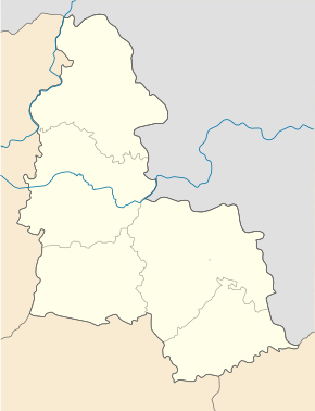
Shevchenkoe (Hluchiw)
| Shevchenkoe (Hluchiw) | ||
| Шевченкове | ||

|
|
|
| Basic data | ||
|---|---|---|
| Oblast : | Sumy Oblast | |
| Rajon : | Hlukhiv district | |
| Height : | 179 m | |
| Area : | 6.5 km² | |
| Residents : | 931 (2010) | |
| Population density : | 143 inhabitants per km² | |
| Postcodes : | 41451 | |
| Area code : | +380 5444 | |
| Geographic location : | 51 ° 41 ' N , 33 ° 41' E | |
| KOATUU : | 5921589701 | |
| Administrative structure : | 1 village | |
| Address: | вул. Радянська 41451 с. Шевченкове |
|
| Website : | City council website | |
| Statistical information | ||
|
|
||
Schewtschenkowe ( Ukrainian Шевченкове ; Russian Шевченково Schewtschenkowo ) is a village in the north of the Ukrainian Sumy Oblast with about 930 inhabitants (2010).
The village was founded in the 15th century was called until 1945 Tschortorigi ( Чорториги ).
Shevchenko has been part of the rural municipality of the village of Beresa in the west of Hlukhiv district since August 2015 .
The village is located on the banks of the Esman ( Есмань ), a 50 km long left tributary of the Desna , 17 km west of the district center Hluchiw and 160 km northwest of the oblast center Sumy .
The Ukrainian national trunk road M 02 / E 101 runs south of the village .
Web links
Commons : Shevchenkoe - collection of images, videos and audio files
Individual evidence
- ^ Website of the municipal council ; accessed on April 20, 2018 (Ukrainian)
- ^ Local history of Shevchenko in the history of the cities and villages of the Ukrainian SSR ; accessed on April 20, 2018 (Ukrainian)


