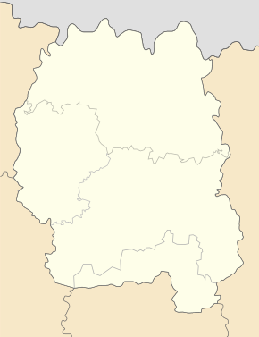
Schubrowytschi
| Schubrowytschi | ||
| Жубровичі | ||

|
|
|
| Basic data | ||
|---|---|---|
| Oblast : | Zhytomyr Oblast | |
| Rajon : | Olevsk Raion | |
| Height : | 202 m | |
| Area : | 5.74 km² | |
| Residents : | 2,326 (2001) | |
| Population density : | 405 inhabitants per km² | |
| Postcodes : | 11042 | |
| Area code : | +380 4135 | |
| Geographic location : | 51 ° 4 ' N , 27 ° 53' E | |
| KOATUU : | 1824481601 | |
| Administrative structure : | 1 village | |
| Address: | вул. Шевченка буд. 14 11042 с. Жубровичі |
|
| Website : | City council website | |
| Statistical information | ||
|
|
||
Schubrowytschi ( Ukrainian Жубровичі ; Russian Жубровичи Schubrowitschi ) is a village in the northwest of the Ukrainian Oblast Zhytomyr with about 2,300 inhabitants (2016).
The village, founded in 1545, has an area of 5.74 km² and administratively belongs to the municipality of Olevsk .
The village is located in the south of Olevsk Raion at an altitude of 202 m , 26 km southeast of the community and district center of Olevsk and 125 km northwest of the Oblast center of Zhytomyr . The M 07 / E 373 trunk road runs north of the village .
Web links
Commons : Schubrowytschi - collection of pictures, videos and audio files
Individual evidence
- ↑ a b website of the community on gromada.info ; accessed on January 11, 2019 (Ukrainian)
- ↑ a b local website on the official website of the Verkhovna Rada ; accessed on January 11, 2019 (Ukrainian)
- ↑ history Schubrowytschi in the history of the towns and villages of the Ukrainian SSR ; accessed on January 11, 2019 (Ukrainian)


