Sdowbyzja (Sdolbuniw)
| Sdovbytsia | ||
| Здовбиця | ||

|
|
|
| Basic data | ||
|---|---|---|
| Oblast : | Rivne Oblast | |
| Rajon : | Sdolbuniv district | |
| Height : | 204 m | |
| Area : | 40.152 km² | |
| Residents : | 5,067 (2001) | |
| Population density : | 126 inhabitants per km² | |
| Postcodes : | 35709 | |
| Area code : | +380 3652 | |
| Geographic location : | 50 ° 30 ' N , 26 ° 14' E | |
| KOATUU : | 5622682001 | |
| Administrative structure : | 1 village | |
| Address: | вул. Шосова 105 35709 с. Здовбиця |
|
| Statistical information | ||
|
|
||
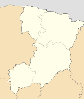
Sdowbyzja ( Ukrainian Здовбиця ; Russian Здолбица Sdolbiza , Polish Zdołbica ) is a village in the south of the Ukrainian Oblast Rivne with about 5000 inhabitants (2004).
The village, founded in 1487, is the only place belonging to the district council of the same name in Sdolbuniv district .
Sdowbyzja is located on the regional road P – 05 and the territorial road T – 18–01 . The village borders on the south of the urban area from the district center of Sdolbuniv . The Oblasthauptstadt Rivne is located 20 km north of Sdowbyzja.
history
The village was initially in the aristocratic republic of Poland-Lithuania ( Voivodeship Volhynia ), after the 3rd partition of Poland , the village came in 1795 to the Volhynia governorate of the Russian Empire . After the end of the First World War , the village became part of the Second Polish Republic ( Volyn Voivodeship ). After the outbreak of World War II , the region was occupied by the Soviet Union and, from 1941, by Germany . In 1945 Sdowbyzja became part of the Ukrainian SSR within the Soviet Union. Since the independence of Ukraine in 1991, Sdovbyzja has been part of the same.
Web links
- Zdołbica . In: Filip Sulimierski, Władysław Walewski (eds.): Słownik geograficzny Królestwa Polskiego i innych krajów słowiańskich . tape 14 : Vorovo – Żyżyn . Walewskiego, Warsaw 1895, p. 541 (Polish, edu.pl ).
Individual evidence
- ↑ page of the village on the website of the Verkhovna Rada ; accessed on August 8, 2017 (Ukrainian)


