
Sophienhof (Flensburg)
,_Bild_003.JPG)
Sophienhof ( Danish Sophiegård ) in Flensburg is an area southwest of the city center that was assigned to the Weiche district by the city administration and subsequently received the status of a Flensburg city district.
history
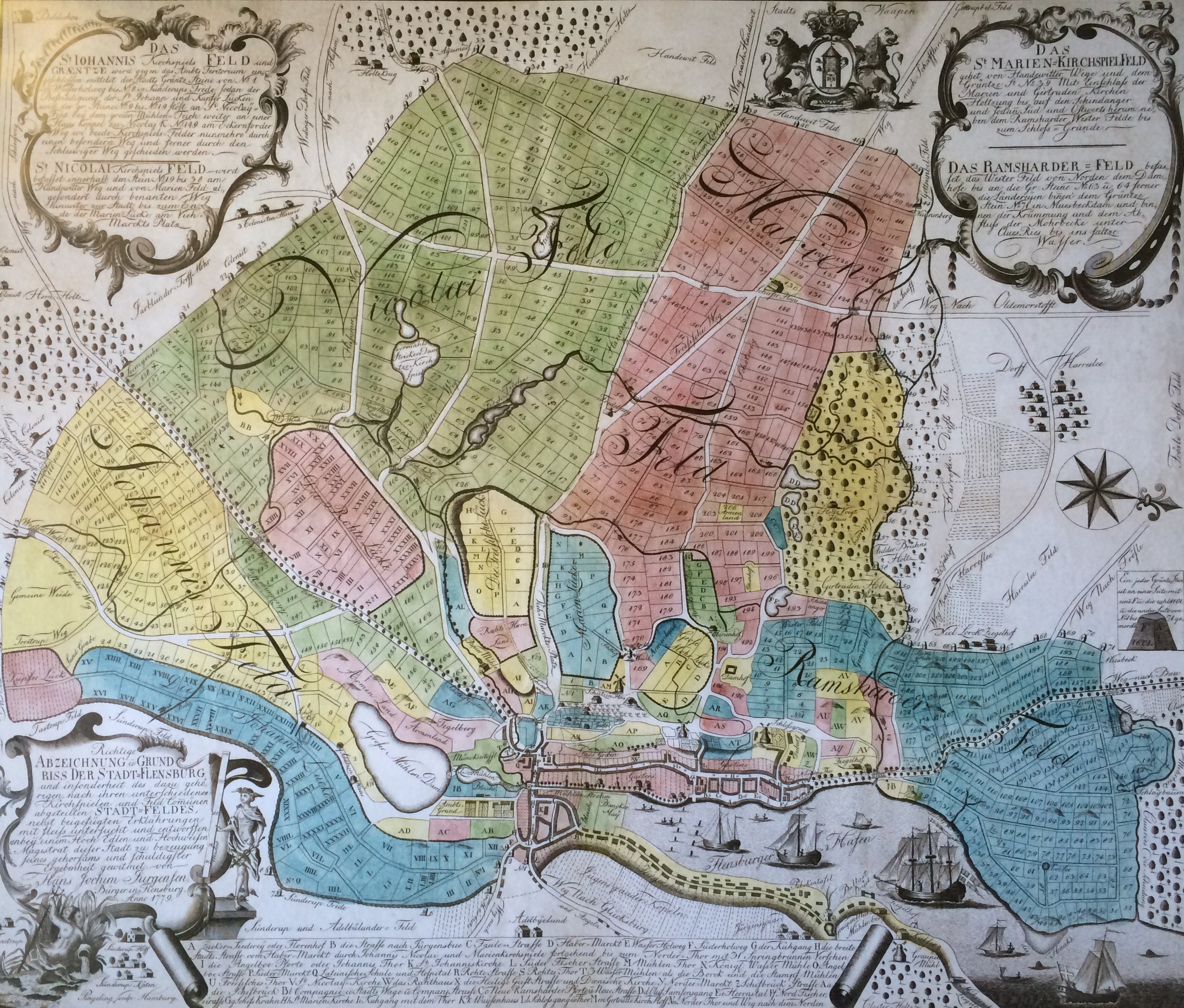
The area in the 18th century
In the 18th century, at least eight colonist sites were established south of the city. The colonists (cf. Potato Germans and Moorkolonisierung # Schleswig-Holstein ) were supposed to cultivate the wasteland there . The city grounds were already completely distributed at that time. The land in front of the city served to supply the urban population. The area of the later Sopfhienhof was also divided into several fields in the 18th century. The city limits began south of the area, and one of the aforementioned colonist farms was located there. A path leading there was later named Kolonistenweg .
Creation of the Sophienhof
In the 19th century, the Sophienhof was finally created. 1841, the Bavarian put colored lining Christian Schulz († 1848) the farm to. Schulz drove and worked with donkeys, instead of cows he had sheep. With his sheep and his agriculture, he apparently made better use of the local heathland than in the previous decades. Schulz also found support from the Flensburg businessman Peter Petersen Schmidt († 1848) who traded with Iceland . He was probably particularly responsible for the sale of sheep's wool and the sale of leather goods. Leather goods, especially leather gloves, were exported from Flensburg. In 1845 the owner of Alt-Seegaard bei Husby , who had made a fortune by distilling spirits , bought the sheep farm. He built a new house for the courtyard (Am Sophienhof 33) and gave the courtyard the name of his wife Sophie, which means "Sophienhof". He also set up a brewery there. Shortly after the purchase, he apparently handed over the “Sophienhof” to his fourth son Nicolai Jacob Ohlsen (1810–1854). After the death of Nicolai Jacob Ohlsen in 1854, his younger brother Peter Christian Ohlsen, born in 1816, who had apparently served as a volunteer with the rank of lieutenant in the Schleswig-Holstein War (1848-1851) , received the court. Peter Christian Ohlsen apparently did not manage the farm sustainably. He sold the sheep and the distillery equipment. In 1856 or 1857 he is said to have disappeared to America without his wife and children . According to other sources, he is said to have joined the German-British Legion with his comrades after the war was lost and died in South Africa . Various farm owners followed Peter Christian Ohlsen. In a map from 1863, the Sophienhof was recorded as a four-sided farm .

As an agricultural enterprise of the city and as a test station of the Reichsnährstand and the farmers' association
At the beginning of the 20th century, the farm was apparently run down. In 1903 the city of Flensburg took over the farm, which made it the headquarters of the city's agricultural business. Furthermore, the city apparently used the site as a garbage dump and, after extensive thinning, as arable land. In 1934, the Reichsnährstand leased the Sophienhof and set up the "cattle care training center and milking school of the Schleswig-Holstein State Farmers". About 27 black and white cows were kept on the farm . In addition, some fattening pigs, young cattle and foals. On November 11, 1942, Lord Mayor Ernst Kracht determined the street name “Am Sophienhof”. In addition, the Reichsnährstand bought the farm in the same year. In the post-war period, the Schleswig-Holstein Farmers' Association replaced the Reichsnährstand. The exact date of the takeover after the war is unclear. The new sponsor, the Schleswig-Holstein Farmers' Association, was founded at least on February 12, 1947 in Rendsburg. Until 1966, Sophienhof served as a test station for the Schleswig-Holstein farmers' association.
Change to today's residential, industrial and commercial area
The south-eastern part of the original area, as well as the oldest residential area in the district, which belongs to the Mühlental , was later designated by the administration as part of today's Sophienhof district. The city had been negotiating with the Schleswig-Holstein Chamber of Agriculture about the purchase of the 45 hectare site since 1964/65 . In 1969 a sewer (Stammsiel Süd) was completed there. A residential area was then built there. In addition, an industrial and commercial area was created on Husumer Strasse . The Lübeck company Holtex made the start in 1971. Since then, the company has offered all kinds of textiles in a simple 4,000 square meter hall. The department store that still exists today has been rebuilt over the years. The residential area only grew to Weiche in the 1990s.
Individual evidence
- ↑ Falk map : Flensburg. Edition 17, 1992/93
- ^ City districts, published by the City of Flensburg ( Memento from February 24, 2016 in the Internet Archive )
- ↑ Flensburg street names . Society for Flensburg City History, Flensburg 2005, ISBN 3-925856-50-1 , article: Kolonistenweg
- ^ Map of Flensburg and the surrounding area, 1779
- ↑ Gerret Liebing Schlaber: From the country to the district. Flensburg's Stadtfeld and the incorporated villages in pictures and words approx. 1860–1930. Flensburg 2009. page 84
- ↑ Flensburg street names . Society for Flensburg City History, Flensburg 2005, ISBN 3-925856-50-1 , article: Am Sophienhof
- ↑ Flensburg street names . Society for Flensburg City History, Flensburg 2005, ISBN 3-925856-50-1 , article: Am Sophienhof
- ↑ Herredsfoged Troels Winther og hans efterslægt. 14 generationer med rod in marsken. Peter Christian Ohlsen , accessed on: January 11, 2018
- ^ Lutz Wilde : Monument topography Federal Republic of Germany, cultural monuments in Schleswig-Holstein. Volume 2, Flensburg, p. 610
- ↑ The "Friesen" of the Schleswig-Holstein Army
- ↑ Flensburg street names . Society for Flensburg City History, Flensburg 2005, ISBN 3-925856-50-1 , article: Am Sophienhof
- ↑ Flensburg street names . Society for Flensburg City History, Flensburg 2005, ISBN 3-925856-50-1 , article: Am Sophienhof
- ^ Lutz Wilde : Monument topography Federal Republic of Germany, cultural monuments in Schleswig-Holstein. Volume 2, Flensburg, p. 610
- ↑ Flensburg street names . Society for Flensburg City History, Flensburg 2005, ISBN 3-925856-50-1 , article: Am Sophienhof
- ^ Andreas Oeding, Broder Schwensen, Michael Sturm: Flexikon. 725 aha experiences from Flensburg! Flensburg 2009, article: Sophienhof
- ↑ Gerret Liebing Schlaber: From the country to the district. Flensburg's Stadtfeld and the incorporated villages in pictures and words approx. 1860–1930. Flensburg 2009. page 84
- ^ Andreas Oeding, Broder Schwensen, Michael Sturm: Flexikon. 725 aha experiences from Flensburg! Flensburg 2009, article: Sophienhof
- ^ Schleswig-Holstein Farmers' Association. Association , accessed on: November 3, 2019
- ↑ See Erich Thiesen, It began in the Green Kremlin, Wachholtz Verlag 1997 ISBN 3-529-05408-9 page 511.
- ↑ Gerret Liebing Schlaber: From the country to the district. Flensburg's Stadtfeld and the incorporated villages in pictures and words approx. 1860–1930. Flensburg 2009. page 84
- ^ Andreas Oeding, Broder Schwensen, Michael Sturm: Flexikon. 725 aha experiences from Flensburg! Flensburg 2009, article: Sophienhof
- ↑ Gerret Liebing Schlaber: From the country to the district. Flensburg's Stadtfeld and the incorporated villages in pictures and words approx. 1860–1930. Flensburg 2009. page 84
- ↑ Flensburg street names . Society for Flensburg City History, Flensburg 2005, ISBN 3-925856-50-1 , article: Am Sophienhof
- ↑ Flensburger Tageblatt : Holtex offers a lot of fashion for cheap money , from: April 18, 2009; accessed on: January 12, 2018
- ↑ Gerret Liebing Schlaber: From the country to the district. Flensburg's Stadtfeld and the incorporated villages in pictures and words approx. 1860–1930. Flensburg 2009. page 84
Web links
- Sophienhof (City of Flensburg) in the historical directory of the association for computer genealogy
Coordinates: 54 ° 45 ′ 36.9 ″ N , 9 ° 25 ′ 10.2 ″ E