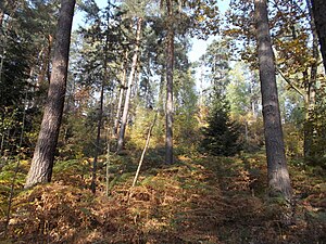
Steinberg (Paulsdorfer Heide)
| Steinberg
Erashöhe
|
||
|---|---|---|
| height | 428.4 m above sea level HN | |
| location | Germany , Saxony | |
| Mountains | Ore Mountains | |
| Coordinates | 50 ° 55 '23 " N , 13 ° 37' 39" E | |
|
|
||
| rock | Sandstone | |
The Steinberg (also Erashöhe ) is an elevation in the Paulsdorfer Heide in the lower Eastern Ore Mountains .
Location and surroundings
The Erashöhe is located in the urban area of Dippoldiswalde in the district of Saxon Switzerland-Eastern Ore Mountains southwest of Seifersdorf , west of the Malter dam and northeast of Paulshain .
history
In 1899 the Höckendorfer forester Rudolf Carl Eras received the dedication of the highest elevation on the Steinberg for his prominent services, which from then on was called the Erashöhe and serves as a lookout point to the south with a refuge that was set up in 1979 by the Kulturbund Seifersdorf. The refuge was destroyed by fire on October 30, 2018.
Individual evidence
- ↑ Erashöhe at Dippoldiswalde.de ( Memento of the original from October 21, 2018 in the Internet Archive ) Info: The archive link was inserted automatically and has not yet been checked. Please check the original and archive link according to the instructions and then remove this notice. , Accessed on October 21, 2018

