Tamsalu (tapa)
| Tamsalu | |||
|
|||
| State : |
|
||
| Circle : |
|
||
| Coordinates : | 59 ° 10 ′ N , 26 ° 6 ′ E | ||
| Area : | 3.9 km² | ||
| Residents : | 2,119 (January 1, 2018) | ||
| Population density : | 543 inhabitants per km² | ||
| Time zone : | EET (UTC + 2) | ||
| Telephone code : | (+372) 332 | ||
| Postal code : | 46106 | ||
| Mayor : | Toomas Uudeberg | ||
| Postal address : | Tehnika 1A 46106 Tamsalu |
||
| Website : | |||
|
|
|||
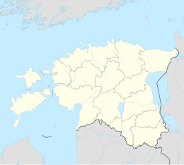
Tamsalu ( German Tamsal ) is a city in northern Estonia . The city is part of the Tapa municipality in Lääne-Viru County .
history
Tamsalu was first mentioned in 1512. It was only with the construction of the railway line from Tallinn to Tartu in 1876 that the previously insignificant village experienced an upswing. A larger settlement was built around the station.
The city specialized mainly in the mining and processing of lime . Since the 1880s, important companies for agricultural machinery, bakery products and, during the time of the Soviet occupation of Estonia, a concrete factory developed. 1954 Tamsalu was given the status of a large village ( alevik ). It has had city rights since October 1996.
Until 2017 the city belonged to the rural community of the same name Tamsalu . Since the territorial reform in the same year, it has belonged to the Tapa municipality, which has been considerably enlarged.
Distances
Web links
- Tamsalu website (Estonian)


