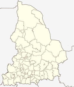
Trjoka
| Village
Trjoka
Трёка
|
||||||||||||||||||||||||||
|
||||||||||||||||||||||||||
|
||||||||||||||||||||||||||
Trjoka ( Russian Трёка ) is a village in Sverdlovsk Oblast in Russia .
geography
The village is situated on the right bank of the Chusovaya in the urban district Perwouralsk the Sverdlovsk Oblast .
etymology
The village got its name from the Trjoka River on which it lies. The river name probably comes from the Old Russian word "trjoknulsja" - to renounce.
history
The village was founded in the 18th century .
There used to be a Bashkir fortified settlement here. Then the Bashkir village was founded, where Russian peasants settled after the construction of the Staroutkinsk plant.
A loading bay was built near Trjoka and the artery connecting west and east stretched through the village. Barges that transported the ironworks' goods often landed here. In 1774–76 a sawmill was built on the Trjoka River and a dam at the confluence of the Trjoka and Gibelka (Giblaja) rivers. The population worked at the raft place, as towers and dealt with the procurement of wood.
In 1855 the village belonged to the Nizhne-Selski community .
In 1891 the village was damaged by the fire. The entire street (44 houses in total) was burned. But after a few years the village was rebuilt.
In Soviet times, the population was busy with the procurement of wood. In the 1960s, a forest enterprise and a collective farm "Sawety Iljitscha" ("Legacies of Ilijitsch") worked here with the breeding company for silver foxes.
The village is connected to the outside world by a hanging pedestrian bridge.
Population development
| year | Residents |
|---|---|
| 1939 | 215 |
| 1959 | 179 |
| 2010 | 40 |
Attractions
Monuments:
- On the right bank of the Chusovaya, 5 km from the village is the Vysoki Kamen (High Stone). Its length is about 200 m. The Vysoki came is one of the geomorphological monuments.
- The memorial to those who died in the Great Patriotic War.
Web links
- The story of the village of Trjoka (Russian)
- The village of Trjoka (Russian)
- The Vysokij Came (High Stone) (Russian)
Individual evidence
- ↑ http://rekachusovaya.ru/index.php/putevoditel/kourovka-staroutkinsk/38-treka
- ↑ http://www.aziko.ru/ural-sights-marshruty/articles_items/neizvestnaya-chusovaya-put-k-treke
- ↑ http: //www.xn--80ajpwj.xn--p1ai/index.php/article/2-2011-03-23-06-45-53/1-2011-01-19-11-56-46
- ↑ Всероссийская перепись населения 2010 года. Численность и размещение населения Свердловской области.
- ↑ http://rekachusovaya.ru/index.php/putevoditel/ust-utka-kin/179-kamen-velikan


