Vétaounde
| Vétaounde | ||
|---|---|---|
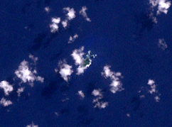
| Satellite image of the island (center of the image, cloudy) | ||
| Waters | Pacific Ocean | |
| Archipelago | Banks Islands | |
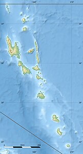
| Geographical location | 13 ° 15 '33 " S , 167 ° 38' 34" O | |
|
|
||
| length | 920 m | |
| width | 380 m | |
| surface | 24 ha | |
| Highest elevation | 76 m | |
| Residents | uninhabited | |
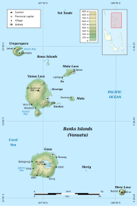
| Map of the Banks Islands; Vétaounde on the upper edge | ||
Vétaounde (also called Vatganai , Vet Tagde , or Vot Tande ) is an island about 50 kilometers north of Vanua Lava , the main island of the Banks Islands . This archipelago belongs to the Mota Lava municipality in the Torba province of the Pacific island state of Vanuatu . Vétaounde is the northernmost island of the Banks Islands.
The small, elongated island is about 0.24 square kilometers and uninhabited. Vétaounde is a bit off the Banks Islands, but is still included in this group of islands.
The island reaches a height of 76 meters, according to other sources 64 meters.
Web links
- Vot Tande (English)


