Vanua Lava
| Vanua Lava | ||
|---|---|---|
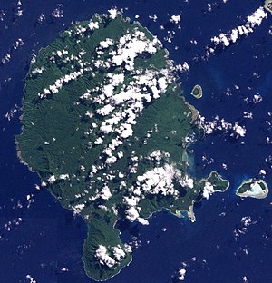
| Vanua Lava satellite image | ||
| Waters | Coral sea | |
| Archipelago | Banks Islands | |
| Geographical location | 13 ° 48 ′ S , 167 ° 28 ′ E | |
|
|
||
| length | 24 km | |
| width | 19 km | |
| surface | 334 km² | |
| Highest elevation |
Mount Suretamate 921 m |
|
| Residents | 2597 (2009) 7.8 inhabitants / km² |
|
| main place | Sola | |
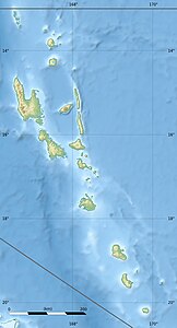
| Map of Vanua Lava | ||
Vanua Lava is an island in the Banks Islands group in the north of the Pacific island state of Vanuatu in the Pacific Ocean . It is the largest island in the Banks Islands by area and population, ahead of Gaua , the second largest island.
In the southeast of Vanua Lava is Sola , the provincial capital of the Vanuatu province of Torba .
In front of the east coast are some small side islands such as Ravenga , Kwakéa and Niwula .


